Imagine you've found the perfect block of land for your dream home. It’s beautiful, spacious, and offers amazing views! But as you start picturing where the house will sit, you notice the land isn't perfectly flat.
Understanding the shape of your land becomes the most exciting and critical first step. It’s not just a boring hurdle. This is where a contour survey comes into play, like drawing lines on a cake to show its layers, or a topographical map for your backyard. It’s a secret code for your land's ups and downs.
A contour survey is essential in making building dreams a reality without headaches, cost overruns, or unexpected problems. It plays a foundational role in planning.
In this article, we'll cover everything from what a contour survey is, why it's vital, what's on the map, how to read it, costs, and more. Let’s dive in!
What is a Contour Survey?
A contour survey is a detailed map of your land’s elevation. It shows the highs and lows across the property. Imagine a landscape where the earth's surface is marked with lines that indicate height differences, like a child's drawing of waves. This survey gives you the land's 'height profile'. It’s perfect for understanding slope and planning earthworks.Contour Lines Explained in Depth
- Think of contour lines as nature’s altitude markers. Each line represents a constant elevation, like walking along a path that never goes uphill or downhill.
- The "contour interval" is the vertical distance between lines, revealing the detail or overview of the land. Closely spaced lines indicate steep slopes, while widely spaced lines suggest gentle slopes.
- Contouring in surveying is the methodical process of mapping these precise elevation paths, like tracing the curves of a road.
The Surveyor's Role & Tools (Simplified):
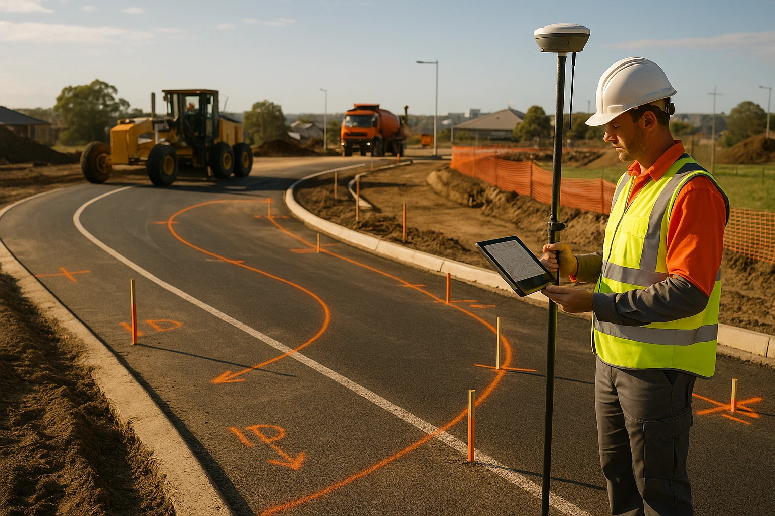
- Surveyors use tools like Total Stations, GPS, and LiDAR to capture elevation data accurately. While the methods can be complex, the outcome is a precise map. Their expertise ensures your land's unique features are captured perfectly.
Why is a Contour Survey Essential for Your Project?
Contour surveys offer a treasure trove of benefits that can make or break your project:
Smart Design & Site Planning:
- Helps designers place your house perfectly, minimising the need for extensive earthmoving (which is expensive!).
- Ensures optimal building orientation for sunlight, views, and privacy.
- Crucial for planning drainage systems to prevent water pooling and erosion, keeping your garden and foundations dry.
- Scenario: Imagine planning a beautiful backyard pool. A contour survey shows you exactly where it can fit without causing water runoff issues onto your neighbour's property.
Building Confidence & Feasibility:
- Lets you know definitively if your dream home design is actually possible on your land before you spend a fortune on architectural plans.
- Identifies potential challenges like steep slopes, existing gullies, or rock formations early on.
Budget Management & Cost Savings:
- Accurately predicts the volume of soil that needs to be moved (cut or fill), a major cost factor.
- Helps obtain more accurate quotes from builders and landscapers.
- Prevents costly redesigns or construction delays due to unforeseen land conditions.
Regulatory Approval & Compliance:
- Essential for council development applications (DA) and building permits.
- Demonstrates due diligence and a thorough understanding of the site to authorities.
Site-Specific Challenges:
- Scenario: Planning a driveway on a sloped block? The contour survey dictates the maximum gradient allowed by council and ensures a smooth, safe access.
- Scenario: Considering a multi-level home? This survey is your blueprint for how it integrates with the land's natural contours.
What Information is Typically Found on a Contour Survey Map?
A contour survey map is a treasure chest of information about your land:
- Contour Lines & Interval: See these wavy lines? They’re like nature’s altitude markers, each representing a specific height above sea level. The consistent space between them (the contour interval) tells you how steep or gentle the land is. Closer lines mean a steeper climb!
- Spot Heights: These single points with numbers are precise elevations at specific locations, giving you exact height data.
- Existing Structures: Your current house, garage, fences, retaining walls, driveways, and even significant trees are clearly marked, showing their position and often their height or base elevation.
- Natural Features: Rivers, creeks, significant rock outcrops, or large vegetation areas are mapped for context.
- Man-Made Features: Footpaths, kerbs, street furniture, and underground services (if identifiable and shown) are included.
- Easements & Covenants: Any legal rights or restrictions on land use (like utility access points) are shown.
- Property Boundaries: The definitive legal edges of your parcel of land, often with survey marks indicated.
Contour Surveys vs. Detail & Boundary Surveys
Understanding the differences between these surveys can guide your planning:
- Contour Survey: Think of this as the land's 'height profile'. It tells you about the ups and downs, perfect for understanding slope and planning earthworks.
- Detail Survey: This is like a comprehensive 'snapshot' of your property. It shows everything on and immediately around the land. Buildings, fences, trees, paths, utilities, and of course, the contour lines too!
- Boundary Survey: This is strictly about the legal lines. It’s the official confirmation of where your property starts and ends, often marked by pegs or markers.
When to Choose Which:
- A detail and contour site survey is often the most comprehensive and commonly required for new builds or significant renovations. It combines the shape information with all the existing features.
- A contour and detail survey is very similar, emphasising that the precise name might vary by region or surveyor, but the goal is the same: a complete pie.ctur
Contextual Examples: For a new home build in a suburban area like Brisbane, a detailed contour site survey is usually essential. If you're just checking property lines for a fence, a boundary survey might suffice, but for building, you need the contours and details.
How to Read a Contour Survey
Here’s your step-by-step guide to reading a contour survey:- Understanding Contour Lines: First, notice the wavy lines. Each one represents a specific elevation. Imagine walking along one, you'd always be at the same height!
- The Power of Spacing: This is key! If the lines are very close together, it's a steep slope, like climbing a mountain! If they are spread far apart, it's a gentle incline, easy to walk on. Think of a staircase (close lines) versus a ramp (wide lines).
- Spotting Heights: Look for the numbers printed on or near the lines. These are the exact elevations. Higher numbers mean higher ground. You'll also see 'spot heights', single points giving precise elevations.
- Identifying Landforms: Closed contour lines with decreasing numbers inside indicate a hilltop or mound. Closed lines with increasing numbers inside suggest a depression or hollow.
- Reading the Map Key: Always check the map's legend or key! It explains what all the symbols and line types mean.
- Practical Application: Let's say you want to build a patio. You'd look at the contour lines around your desired spot. If they are tight, you know you'll need significant leveling. If they are wide, it might be a simpler project.
Contour Survey Cost: What to Expect
Understanding the cost of a contour survey can help you budget wisely:
- Directly Address Cost Questions: So, 'contour survey cost', what’s the deal? And how much does a contour survey cost?
Detailed Breakdown of Cost Factors:
- Property Size: Larger acreage naturally requires more time and effort to survey thoroughly, increasing the cost.
- Topography Complexity: Extremely steep, rugged, or uneven terrain demands more intricate measurement and analysis, leading to higher fees.
- Site Accessibility: If the land is difficult to access (e.g., dense bushland, steep inclines), it can add to the time and cost.
- Level of Detail Required: A basic contour survey might be less expensive than a comprehensive detail and contour survey that includes numerous existing features and services.
- Urban vs. Rural: Costs can vary. Urban areas might have more existing features to map, while rural areas might be larger in size.
- Geographic Location: Rates and demand for surveying services differ significantly between states and even between suburbs within a city.
- Surveyor's Experience & Reputation: More experienced or specialised surveyors may charge higher rates, but often provide greater accuracy and reliability.
- Turnaround Time: If you need the survey urgently, rush fees might apply.
Realistic Range & Value Proposition: While prices vary, expect a contour or detail and contour survey to range from approximately $800 to $3,000 or more for standard residential properties. For larger rural blocks or complex commercial sites, costs can be substantially higher. Emphasise it's an essential investment, not just an expense, saving tens of thousands in potential rework or design flaws.
Frequently Asked Questions
Here are quick answers to common questions:
- What is a contour survey? It’s a detailed map showing the elevation of your land, crucial for planning and design.
- Why is it so important for building? It prevents costly mistakes and ensures your design is feasible.
- How long does it typically take from start to finish? Generally, a site visit and report delivery can take a few days to a couple of weeks, depending on complexity.
- What information do I need to provide to the surveyor? Property title, any existing plans, and access details.
- Can I do a DIY survey? It’s best left to professionals to ensure accuracy and legal compliance.
- What's the difference between Contour and Topographic surveys? Topographic is broader, often including more features, but contour is a key part of it.
- What is a contour line again? It’s a line that represents a specific elevation on a map.
- When do I need a contour survey vs. just a boundary survey? For building/development, you need contours and details; boundaries are for legal property lines.
Conclusion
A contour survey is a superhero for building projects, empowering you with the knowledge to make informed decisions. Armed with this understanding, you're ready to take on your building dreams with confidence! Don't skip this crucial first step. Ready to start building smart?
Get in touch with East West Surveyors, your trusted surveyor here in Australia! Remember, investing in a contour survey is investing in the success and longevity of your project.
Reach out to us if you need any help or clarification. We’re always here to help you with your survey project!