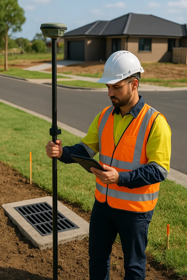
About Us
About EastWest Surveyors
Detail and contour surveying involves mapping the land’s topography, including elevation changes, slopes, vegetation, and any existing structures or utilities. By using advanced technology like GPS systems and drones, we can produce highly accurate contour maps that show how the land is shaped. These maps help predict how water will flow across the land and highlight any potential challenges your project might face.

Applications of Detail Surveys in Sydney
Sydney’s construction projects, whether residential, commercial, or public infrastructure, benefit immensely from detail and contour surveys. Here’s how they can help:
Residential Developments
If you’re a homeowner looking to build or renovate, a detail survey will provide the boundary details and topographical information you need. With Sydney’s zoning laws and building regulations being strict, our surveys ensure you’re compliant from the start. You’ll know exactly where to build and avoid future disputes with neighbours over boundary lines.
Commercial Projects
For builders and developers working on commercial properties, our surveys are essential for planning and resource allocation. A clear understanding of the land helps with efficient space usage, which is critical in busy urban areas like Sydney.
Public Infrastructure Projects
Government agencies rely on detailed surveys for everything from road building to public utilities. Whether it’s assessing the impact on the environment or mapping out the existing infrastructure, our surveys ensure that Sydney’s landscape is preserved while modernising its infrastructure.
Residential Developments
If you’re a homeowner looking to build or renovate, a detail survey will provide the boundary details and topographical information you need. With Sydney’s zoning laws and building regulations being strict, our surveys ensure you’re compliant from the start. You’ll know exactly where to build and avoid future disputes with neighbours over boundary lines.
Commercial Projects
For builders and developers working on commercial properties, our surveys are essential for planning and resource allocation. A clear understanding of the land helps with efficient space usage, which is critical in busy urban areas like Sydney.

The Detail Survey Process at East West Land Surveyors
At East West Land Surveyors, we pride ourselves on delivering accurate and reliable surveys that our clients can trust. Our process includes:
- Initial Site Inspection: We start with an on-site inspection to gather preliminary information about the land and its features.
- Data Collection: Using the latest GPS devices, total stations, and drones, we capture precise measurements of the site.
- Data Processing: Once the data is collected, we process it to create a detailed contour map that reflects the site’s current state.
- Final Report: You will receive a comprehensive report, including maps, that highlight essential features like elevations, utilities, and vegetation.