Sydney’s Trusted
Land Surveyors
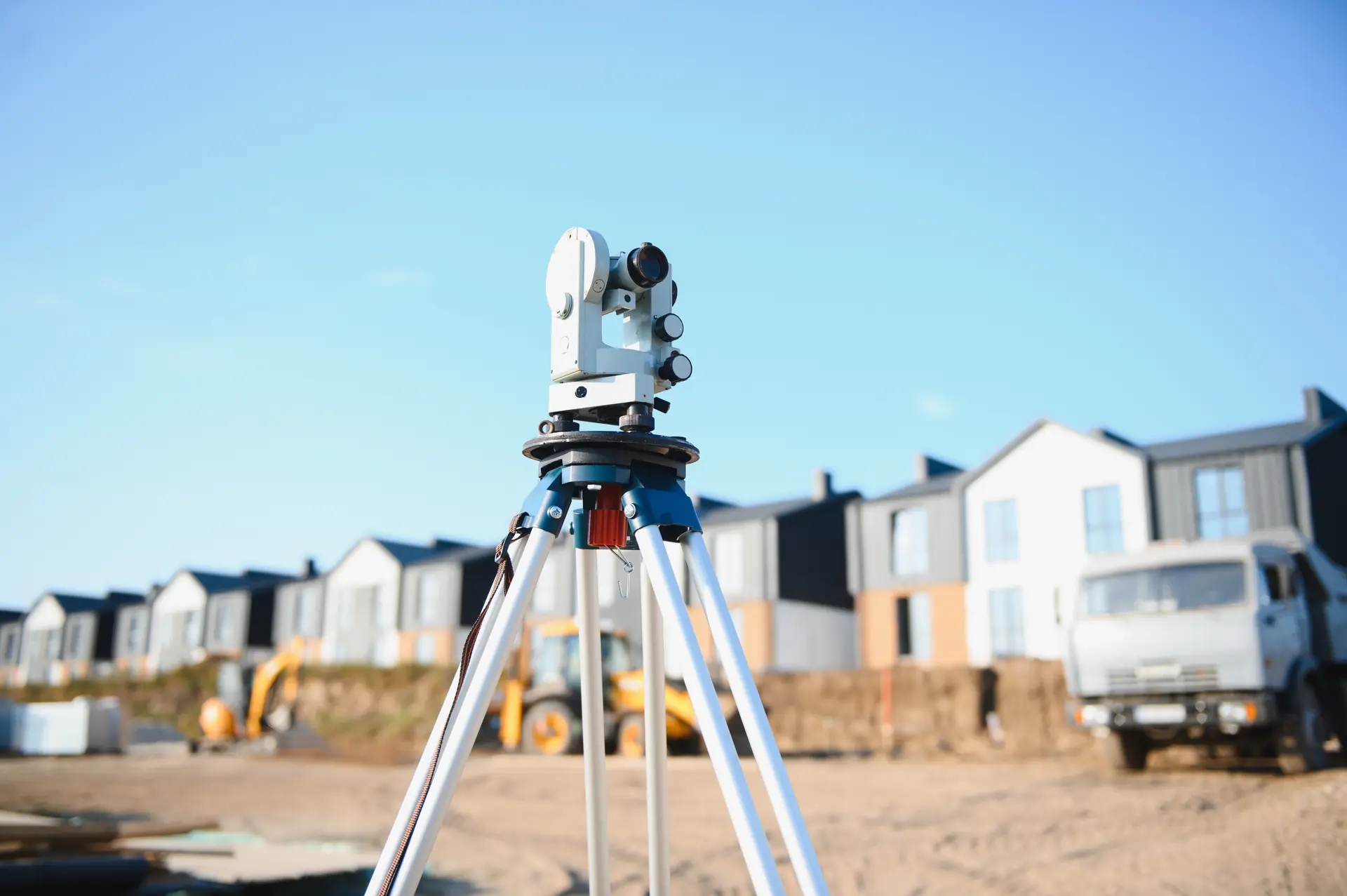
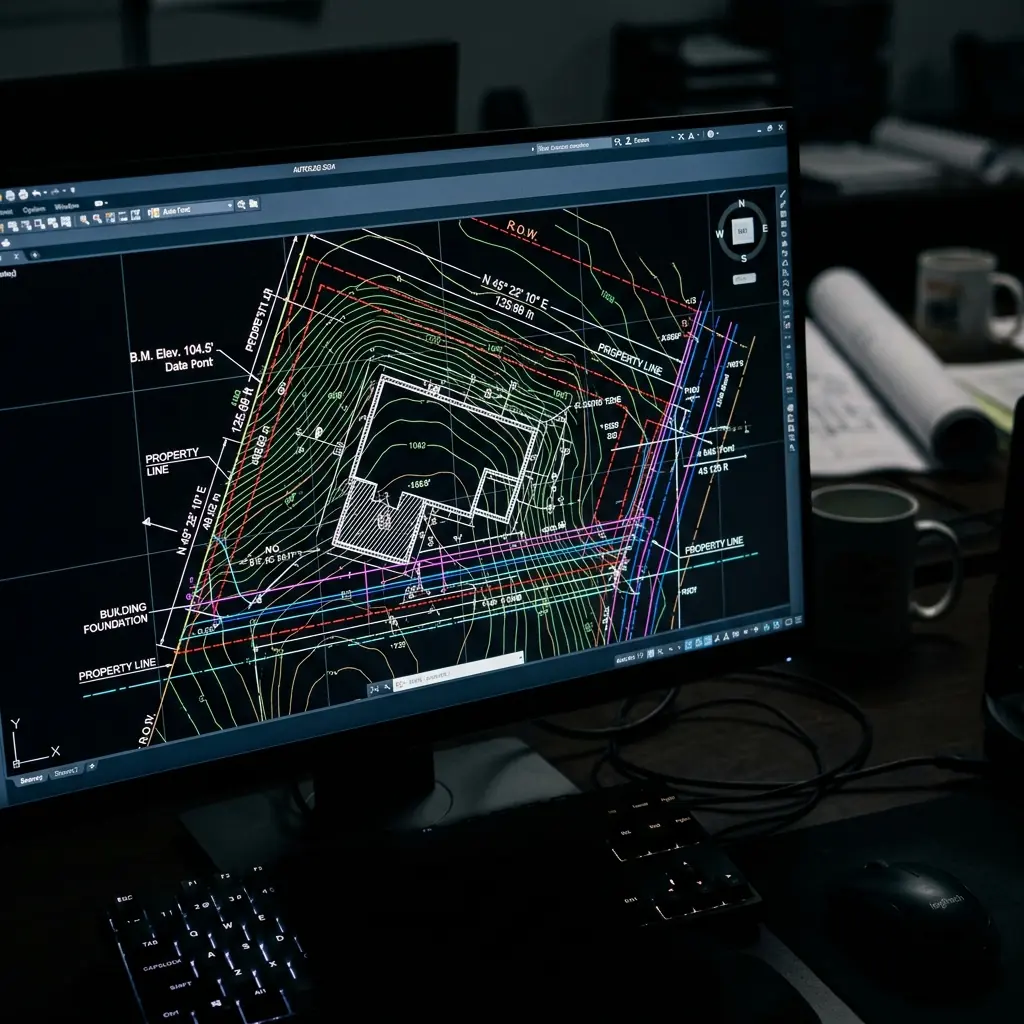
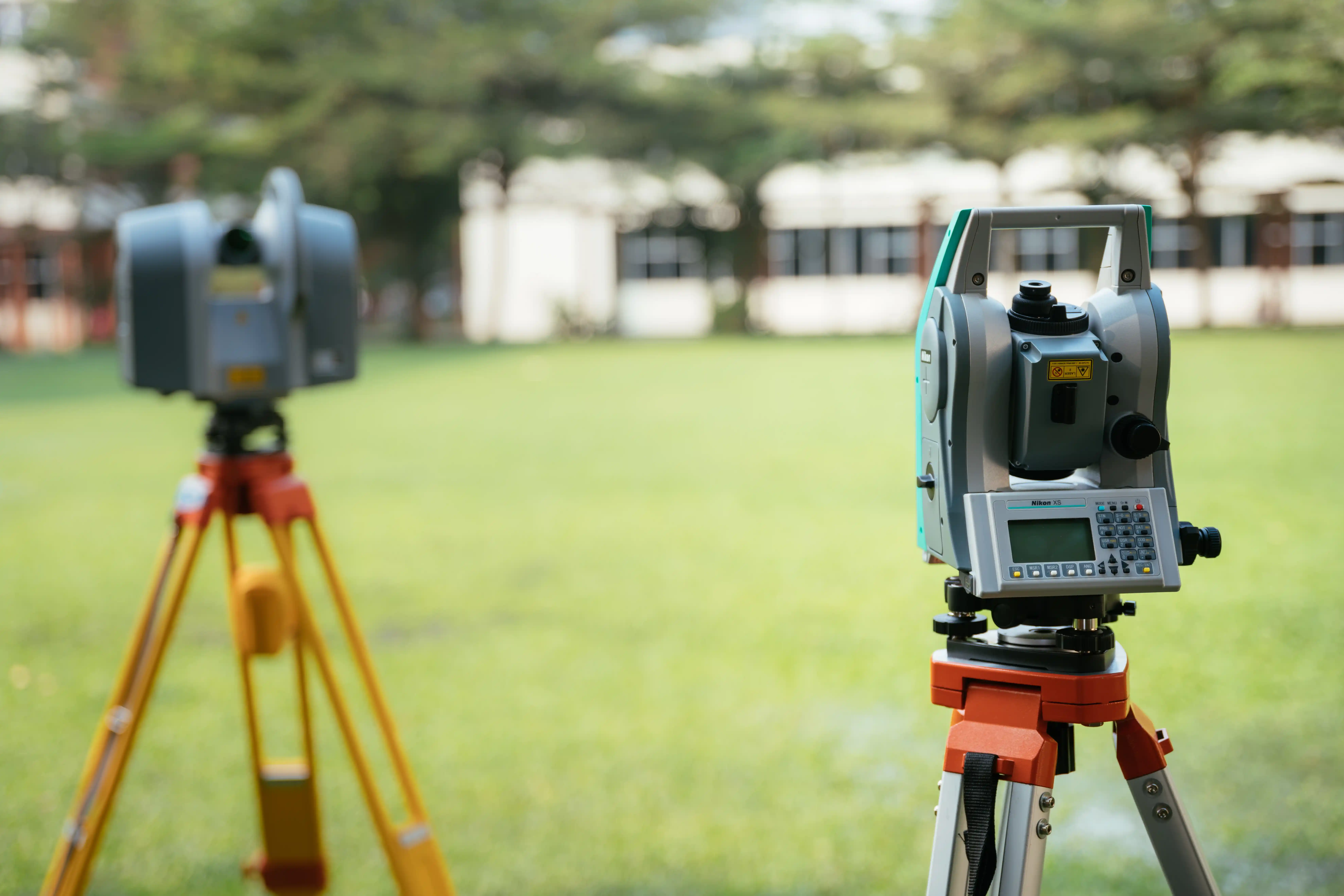
Build safely and skip council delays. As the building surveyor Sydney trusts, we map your exact boundaries, mark your foundations, and secure your final approvals.
Our Standards

Over 25 Years of Local Industry Experience

Registered Surveyor Oversight (Surveying & Spatial Information Act 2002)

NSW Land Registry Services (LRS) Approved Portal Lodgement

100% Council-Ready DA, CDC & PEXA Compliance
Over 25 Years of Local Industry Experience
Registered Surveyor Oversight (Surveying & Spatial Information Act 2002)
NSW Land Registry Services (LRS) Approved Portal Lodgement
100% Council-Ready DA, CDC & PEXA Compliance
Over 25 Years of Local Industry Experience
Registered Surveyor Oversight (Surveying & Spatial Information Act 2002)
NSW Land Registry Services (LRS) Approved Portal Lodgement
100% Council-Ready DA, CDC & PEXA Compliance
Over 25 Years of Local Industry Experience
Registered Surveyor Oversight (Surveying & Spatial Information Act 2002)
NSW Land Registry Services (LRS) Approved Portal Lodgement
100% Council-Ready DA, CDC & PEXA Compliance
Over 25 Years of Local Industry Experience
Registered Surveyor Oversight (Surveying & Spatial Information Act 2002)
NSW Land Registry Services (LRS) Approved Portal Lodgement
100% Council-Ready DA, CDC & PEXA Compliance
Over 25 Years of Local Industry Experience
Registered Surveyor Oversight (Surveying & Spatial Information Act 2002)
NSW Land Registry Services (LRS) Approved Portal Lodgement
100% Council-Ready DA, CDC & PEXA Compliance
Surveying Solutions for
Every Stage of Your Build
Navigating the planning, building, and boundary frameworks of New South Wales doesn't have to be complicated. We provide comprehensive residential and commercial surveying solutions across NSW, mapped out below for your convenience. Whether you are designing a renovation, setting out structural footings, or finalising a multi-lot subdivision, explore our specialized services below:
These everyday land surveying services are versatile assets that can be used at any point in your property journey.
What to Expect From Us
Our 3-Step Project Methodology
Understanding Your Needs
Every parcel of land presents unique spatial and legal conditions. We start by evaluating your specific site requirements, boundary configurations, or architectural plans to provide an accurate, cost-effective quote tailored to your exact scope.
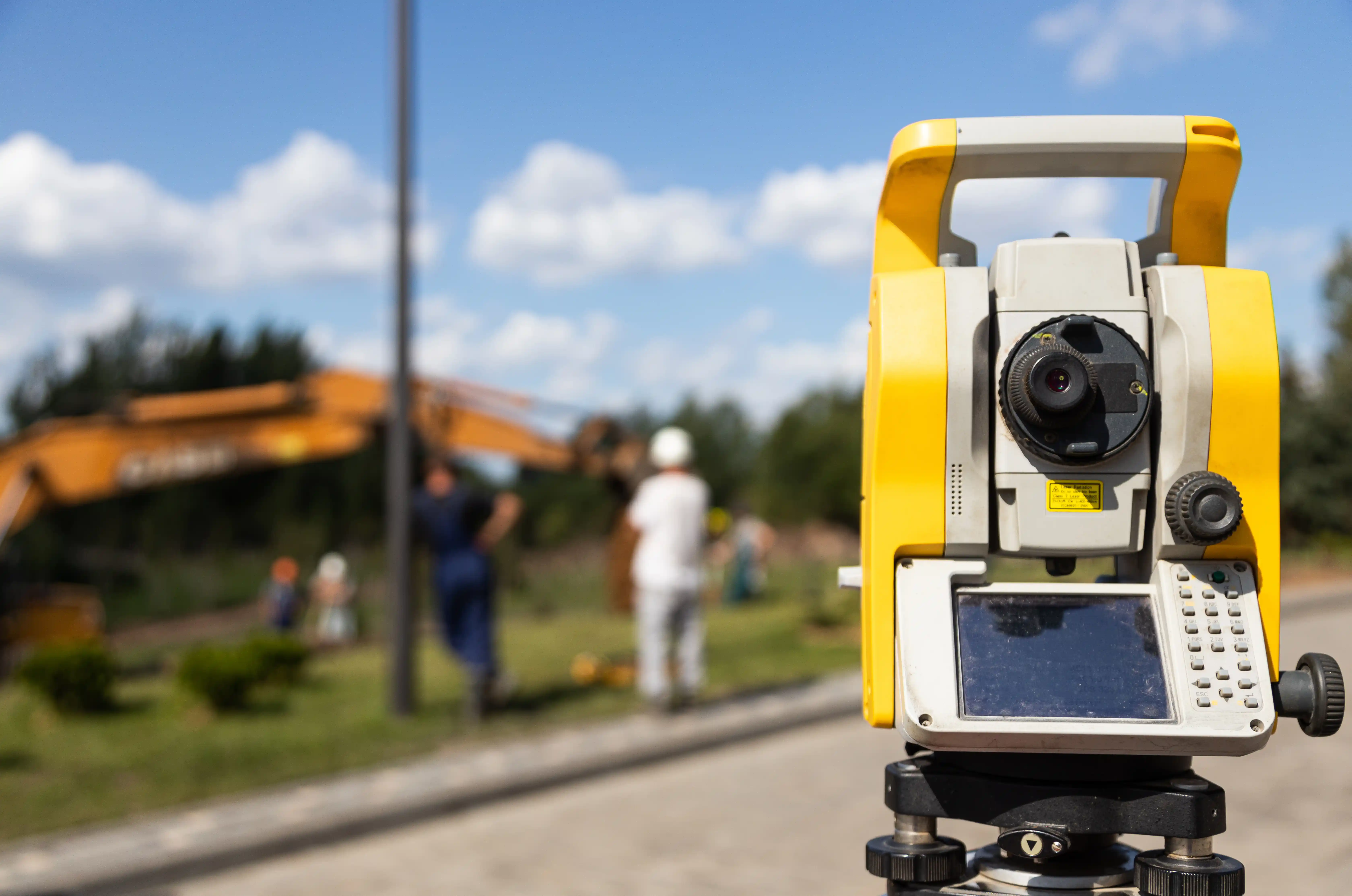
On-Site Survey, Drafting & QA
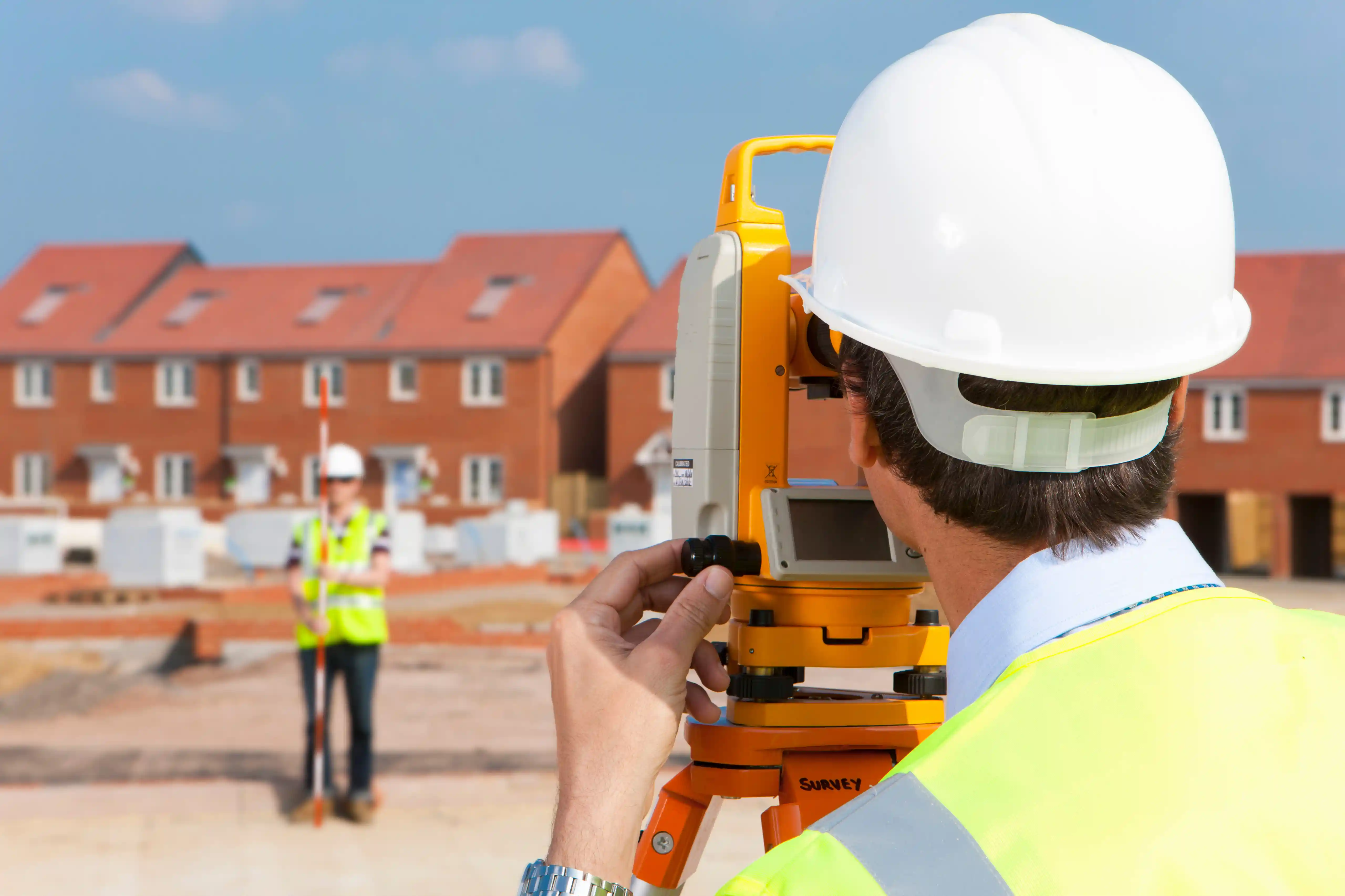
Our experienced field crews deploy directly to your property utilizing modern surveying technology. Data is meticulously captured and double-checked through our strict internal QA drafting workflow, ensuring calculations are processed with absolute precision.
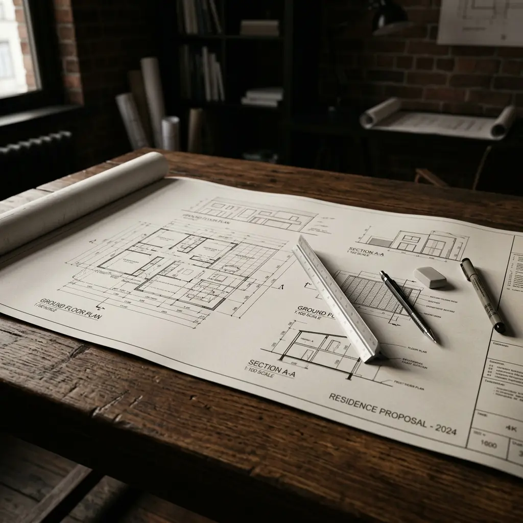
Clear Surveys for Informed Decisions
We transform complex field data into highly readable, council-compliant design plans. You receive the dependable spatial clarity and layout certitude required to advance your build or finalise your property titles with complete confidence.
Why Sydney Builders and Developers
Partner With Us.
We work directly with Sydney's most demanding builders and developers. Every survey is delivered on time, on spec, and signed by a registered surveyor.
Competitive Pricing Structure
We focus on delivering professional, legally thorough surveying assets at a highly cost-effective price point.
Modern Technology Frameworks
Continually embracing new computer applications and automated field technologies to optimise client delivery.
Broad Regional Capability
Fully equipped and insured to manage developments extending from Wollongong and Greater Sydney up to Newcastle.
Trusted across NSW.
We had an excellent experience working with East west surveyor. From start to finish, their team was extremely professional, detail-oriented, and responsive. The surveyors arrived...
The East West team assisted me with boundary marking and building setout for my project. I'm extremely satisfied with their service and expertise. I highly recommend them to anyone in need of professional land surveying services in Sydney.
My construction company has been using East West Surveyors for approximately 5 years and we have always had a professional and pleasant experience with them. Their serviceability always caters to my company needs. I have also referred them to other clients for post construction work. Highly recommended.
My construction company has been using East West Surveyors for approximately 9 years and I have always had a professional and pleasant experience with them. Their serviceability always caters to my company needs. I have also referred them to other clients for post construction work such as sub divisions and always receive great feedback. Highly recommended.
Really easy to work with, and quick responses. Very thorough and went out of their way to clear up any misunderstandings I had in regards to the survey I needed to have done. Would recommend ☺️
Dealing with Sunil and his team for last 5 years. Always got Good and timely service. Will strongly recommend to my Builder friends. keep it up Sunil. Regards Barjinder
Despite my urgent inquiry, they understood my situation well and proceeded quickly, leading to a great result. I highly recommend them.
Great service and reasonable price. I would definitely recommend to anyone looking for a local surveyor.
The team has been supporting with me during my entire process of building. Looked after me and did all required paper work.
Excellent service, highly recommended by East West Survey.
Good service and affordable price.
Good surveyors with great customer help
it's provide great service.
Technical Insights
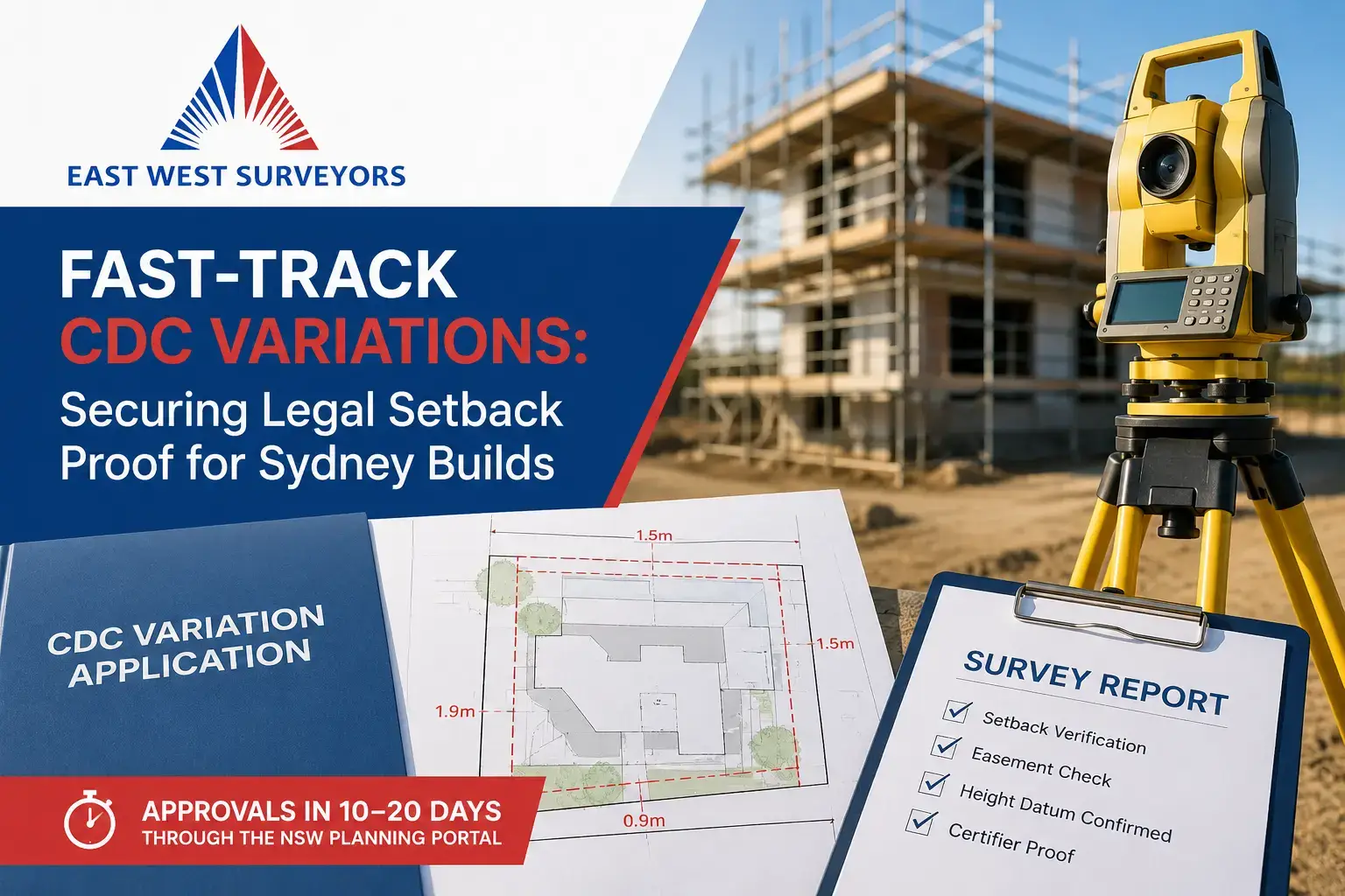
Fast-Track CDC Variations: Securing Legal Setback Proof for Sydney Builds
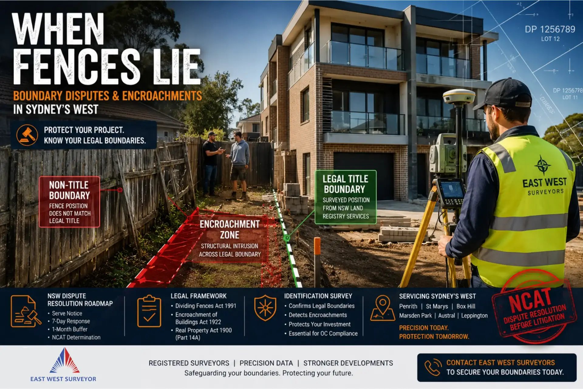
When Fences Lie: Navigating Boundary Disputes and Encroachments in Sydney’s West
Can You Build Over an Easement? What Every Sydney Homeowner and Developer Needs to Know
Ready to start your project?
Get a free quote today.
Protect your development pipeline with clear, professional surveying assets. Reach out to our Epping-based office today for an efficient, highly competitive quote on your Sydney surveys.