- Quick Summary
- Planning a Project? Here’s Why the Right Survey Matters
- What is a Topographical Survey Sydney Property Owners Use?
- What Is a Boundary Survey?
- Topographical Survey vs Boundary Survey: Key Differences
- Which Survey Does Your Sydney Project Need?
- Can Your Project Require Both Surveys?
- What Should You Check Before Booking?
- Frequently Asked Questions
- Choose the Right Survey Before Your Project Moves Forward
Quick Summary
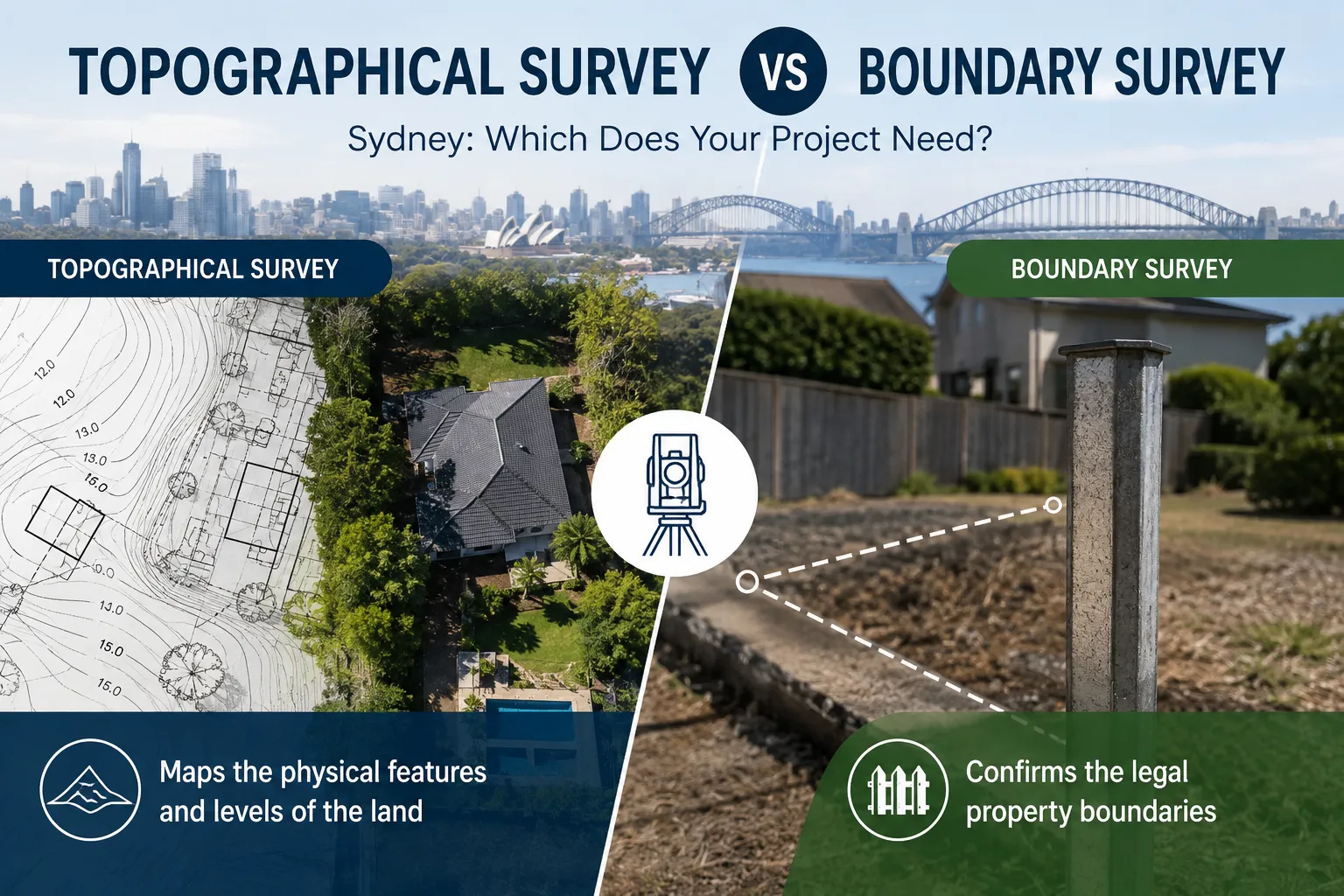
Topographical surveys map the physical features and levels of your land. Boundary surveys confirm the legal property lines. Choosing the right one ensures your Sydney project starts with accurate, reliable information.
Planning a Project? Here’s Why the Right Survey Matters
You have plans for your property. Perhaps it’s a new home, an extension or a new fence. Then someone asks for a land survey.
Simple enough, until you discover there’s more than one type.
Two common options are topographical surveys and boundary surveys. They both measure land, but they answer very different questions. Choosing the right one gives your architect, builder or designer the information they need from the start.
So, which survey suits your Sydney project? Let’s make it clear.
What is a Topographical Survey Sydney Property Owners Use?
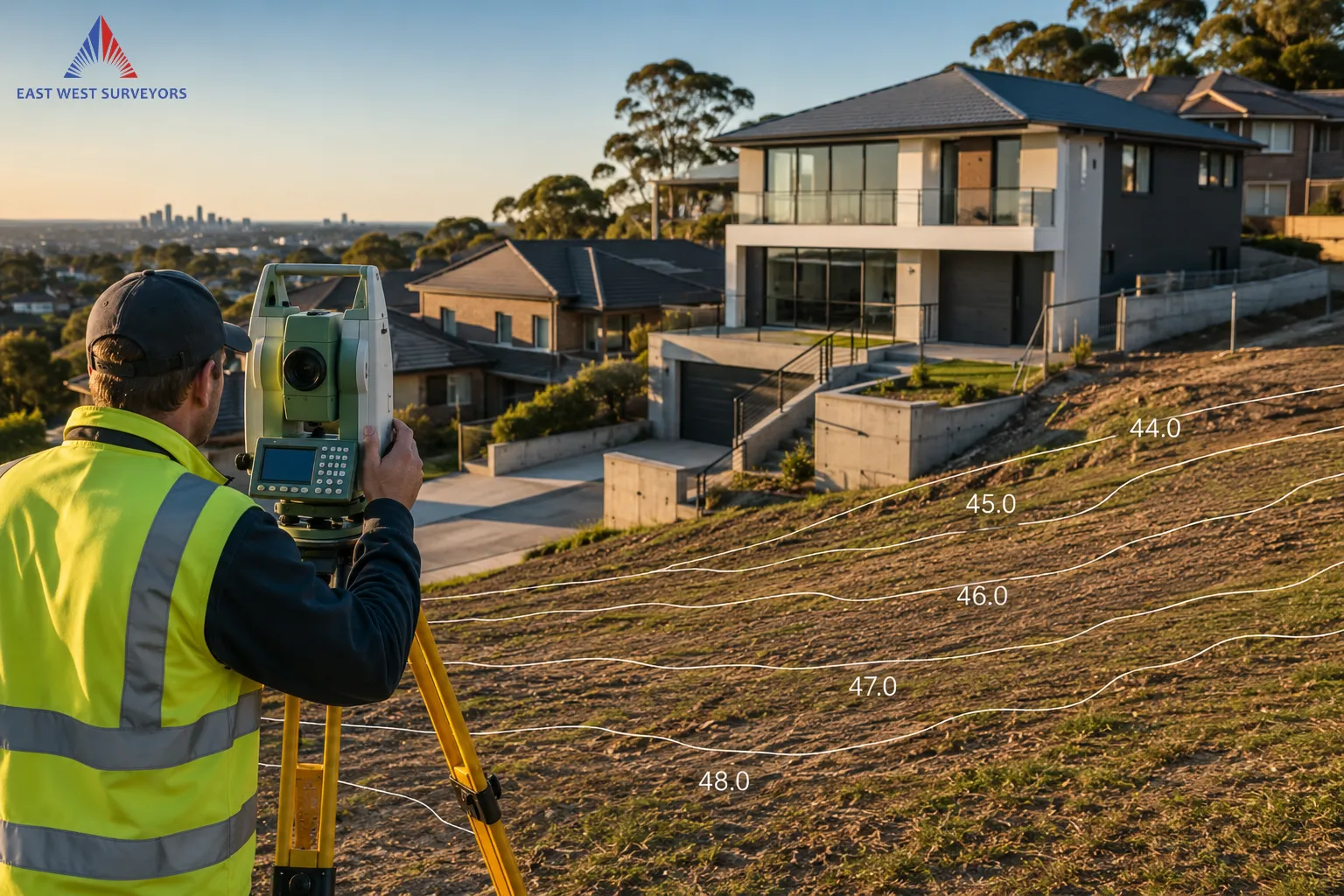
A topographical survey records the physical shape and features of a site. It shows what is on the land and how the ground rises or falls.
In Sydney, it is often called a detail and contour survey. Architects and engineers use this information when planning new buildings, extensions, drainage systems and landscaping work.
A topographical survey in Sydney may record:
- Ground levels and contour lines
- Existing buildings and structures
- Fences, walls and retaining walls
- Trees and other major site features
- Driveways, paths and kerbs
- Visible drainage points and services
- Features near the property that may affect the design
Think of it as a measured picture of the site. It gives your design team a reliable base instead of asking them to work from old plans or rough online maps.
What Is a Boundary Survey?
A boundary survey has a different purpose. It identifies the legal limits of a property.
The fence you can see may appear to mark the edge of your land, but fences do not always follow the legal boundary. Some may have moved, been replaced or been built in the wrong position.
A boundary identification survey compares measurements taken on site with registered plans, survey records and available survey marks. In NSW, cadastral boundary work must be completed or supervised by a Registered Land Surveyor.
You may need a boundary survey when:
- Building close to a property boundary
- Replacing or constructing a fence
- Buying or selling a property
- Checking a possible encroachment
- Resolving uncertainty about property lines
- Confirming setbacks before design or construction
A boundary survey answers one key question: where does your property legally begin and end?
Topographical Survey vs Boundary Survey: Key Differences
The Question Each Survey Answers
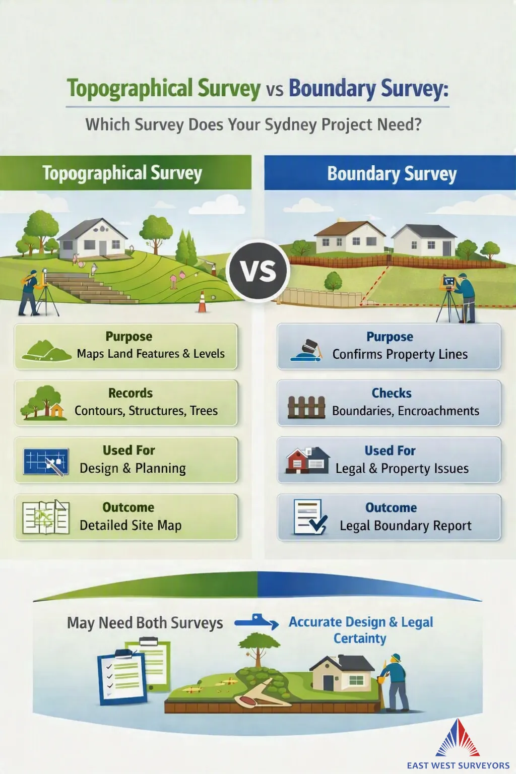
A topographical survey asks: What is on the land, and what shape is the ground?
A boundary survey asks: Where are the legal property lines?
A topographical survey supports planning and design. A boundary survey provides legal certainty about the extent of the land.
They may use similar measuring equipment, but the research, purpose and final documents are different.
Which Survey Does Your Sydney Project Need?
The right choice depends on what you plan to do.
You may need a topographical survey if you are:
- Designing a new home
- Planning an extension or secondary dwelling
- Preparing a Development Application
- Working towards a Complying Development Certificate
- Designing drainage or stormwater systems
- Planning earthworks, retaining walls or landscaping
- Developing a sloping or uneven site
A professional topographical survey Sydney gives architects and engineers the levels and site details needed to plan around real conditions.
You may need a boundary survey if you are:
- Building near the edge of your property
- Installing a new fence
- Checking whether a structure crosses a boundary
- Confirming land dimensions before buying
- Dealing with a boundary concern
- Preparing work that depends on exact setbacks
If your main concern is the legal position of the property line, a boundary survey is the better starting point.
Can Your Project Require Both Surveys?
Yes. Many Sydney projects need both.
Imagine you are planning an extension near the side boundary. Your architect needs topographical information to understand the levels, existing house and surrounding features. They may also need the legal boundary confirmed so the design can meet the required setback.
One survey maps the site. The other confirms its legal edges.
Arranging the correct scope early can reduce the risk of design changes, approval questions and construction delays later.
What Should You Check Before Booking?
Before requesting a survey, gather a few basic details:
- The property address
- The type of work you are planning
- Any plans or documents you already have
- Advice received from your architect, engineer or certifier
- Known access problems or site restrictions
- Any concerns about fences or boundaries
You do not need to know the exact survey name. A land surveyor can review your project and recommend the right service.
Frequently Asked Questions
Is a topographical survey the same as a contour survey?
The terms are often used for closely related services. In Sydney, a topographical survey is commonly called a detail and contour survey because it records both site features and ground levels.
Does a topographical survey confirm legal boundaries?
Not automatically. Boundary identification requires cadastral research and work by a Registered Land Surveyor. Ask whether boundary work is included in the proposed scope.
Can I use an old survey?
It depends on the project and how the site has changed. New structures, fences, landscaping or level changes may make older information unsuitable. Your architect, certifier or surveyor can review the plan.
Should I book the survey before design begins?
Usually, yes. Accurate site information helps the design team work with the land from the beginning.
Choose the Right Survey Before Your Project Moves Forward
A good project starts with the right information.
East West Surveyors provides topographical and boundary surveying services across Sydney. Our team can review your plans, explain which survey you need and prepare clear information for your architect, engineer or builder.
Request a quote for a topographical survey in Sydney and give your project a measured, reliable place to begin.