- Check Current Planning Controls & Local Environmental Plans
- Review Draft Planning Proposals & Rezoning Options
- Confirm Legal Property Boundaries and Title Restrictions
- Measure Real Site Levels with a Detail and Contour Survey
- Assemble Your Feasibility Team Early
- What to Gather Before Asking for Advice
- Start With Facts, Not Assumptions
- Frequently Asked Questions
A block can look full of promise from the street.
There may be room for another dwelling, a duplex, a subdivision or a larger redevelopment. It is easy to picture the finished project before you know what the land, title and planning rules will allow.
That is where property development feasibility begins.
It is the process of checking whether an idea may be practical before spending heavily on detailed plans, reports or approvals. It does not guarantee an outcome. Instead, it helps you ask better questions early, when changes are easier and less costly to make.
Check Current Planning Controls & Local Environmental Plans
The first step is to understand the planning controls that apply to the property today.
These controls may affect:
- the land use allowed on the site
- building height and density
- setbacks from boundaries
- heritage protections
- flood or environmental constraints
- parking, access and landscaping requirements
Your local council planning controls and the relevant Local Environmental Plan are important starting points. A town planner can help explain how those rules apply to your proposal.
It is important to look at the actual property, not just the suburb. Two nearby sites can have different restrictions, easements, heritage settings or access issues.
Review Draft Planning Proposals & Rezoning Options
Planning rules can change over time. A draft planning proposal may suggest new zoning, height limits, housing types or other changes in a particular area.
The NSW Government’s Planning Proposals Under Exhibition page is a useful place to see proposals that are currently open for public feedback.
For example, the Edgecliff–Woollahra Precinct proposal is a draft rezoning proposal that includes possible changes to planning controls in that area.
However, this is the key point: a draft proposal is not an approval.
It does not confirm that a specific property can be developed in a certain way. Plans can change during the exhibition and review process. The proposal may also take time to progress, or parts of it may not proceed as first shown.
Use draft proposals as information to discuss with your planner and project team. Do not rely on them alone when making a purchase or development decision.
Confirm Legal Property Boundaries and Title Restrictions
A property boundary is more than a line on a real estate listing or an old fence.
Before designing close to a boundary, it helps to understand:
- the legal boundary position
- registered easements
- rights of way
- drainage or service restrictions
- existing encroachments
- whether neighbouring structures affect the available space
An old fence may not sit on the legal boundary. A driveway, drain or access arrangement may also affect how the site can be used.
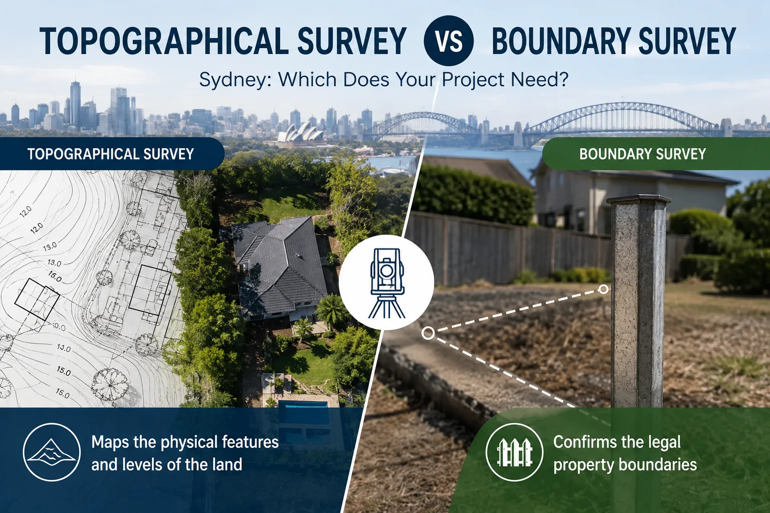
If the legal boundary position matters to the project, a boundary identification survey may be needed. In NSW, legal property boundaries must be determined by a Registered Land Surveyor.
Finding a boundary issue before the design is finalised is far easier than finding one after plans have been prepared.
Measure Real Site Levels with a Detail and Contour Survey
Online maps and old plans can be useful for early research. They are not a replacement for current site information.
A property may have a slope that is hard to notice. Water may move across the site in a way that affects drainage. Existing retaining walls, trees, sheds, pools and driveways can all reduce the space available for a new building.
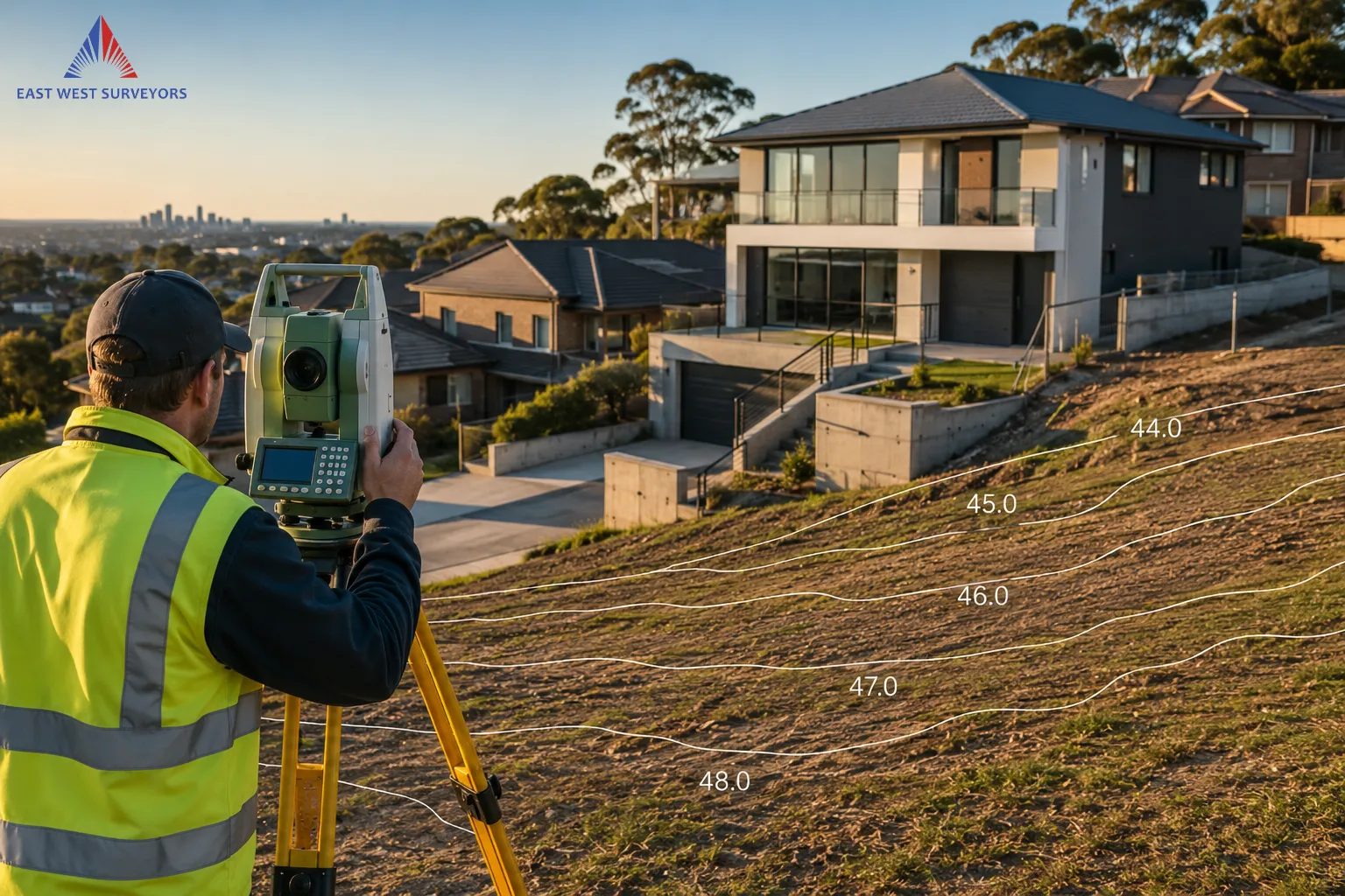
A current detail and contour survey can record site levels and visible features. This gives the design team a measured picture of the property before important decisions are made.
Depending on the project, the survey may help show:
- ground levels and slopes
- existing buildings and structures
- fences and retaining walls
- visible drainage features
- driveways and street frontage
- trees and other visible site features
- nearby buildings where relevant
Accurate site levels can help the team consider excavation, access, drainage and suitable finished floor levels. They also help prevent design decisions based on guesswork.
Assemble Your Feasibility Team Early
Property development feasibility is not one person’s job.
Different professionals answer different parts of the question:
- A surveyor measures the site and can determine legal boundaries where required.
- A town planner reviews planning controls and approval pathways.
- A designer or architect develops a design that responds to the site and your needs.
- An engineer may advise on drainage, structural design, civil works or other technical requirements.
The best time to involve these people is before the design becomes too fixed.
You do not need every consultant on day one. But starting with reliable site information gives the rest of the team a clearer foundation to work from.
What to Gather Before Asking for Advice
You do not need to know every answer before contacting a surveyor or planner. A few basic details will help them understand the project.
Prepare:
- the property address
- a short description of what you hope to build
- any old survey plans or title documents
- photos of the site, if available
- concept drawings or sketches
- known issues such as a pool, steep slope or shared driveway
- your expected project timing
This information helps the team identify what should be checked first.
Start With Facts, Not Assumptions
A property may have development potential. The only sensible way to explore that potential is to check the planning rules, title information and real conditions on the ground.
A draft planning proposal can be useful context. But it is only one part of the picture.
Before your plans move too far ahead, contact East West Surveyors to discuss the site information your project team may need. Accurate measurements and clear boundary information can help you make better decisions from the start.