
Rain rarely falls where you want it to. It runs down slopes, gathers in low areas, and follows the easiest path across the land. On a poorly planned property, that path could lead towards the house, garage, or neighbouring block.
Good drainage begins with understanding how the land behaves. That’s where a reliable contour survey Sydney service becomes valuable.
Why Site Levels Matter for Stormwater Drainage
A block may appear flat when you stand on it. In reality, even a small change in height can affect where water flows.
A surveyor measures points across the property to record its site levels. These measurements show the rise and fall of the ground, giving designers the information they need when planning:
- Floor and slab levels
- Driveway gradients
- Stormwater flow paths
- Drainage pits and connection points
- Retaining walls
- Excavation and filling
- Access around the building
Without reliable levels, the design team may have to make assumptions. Those assumptions can become costly if the land slopes differently from what the plans suggest.
What Does a Contour Survey Plan Show?
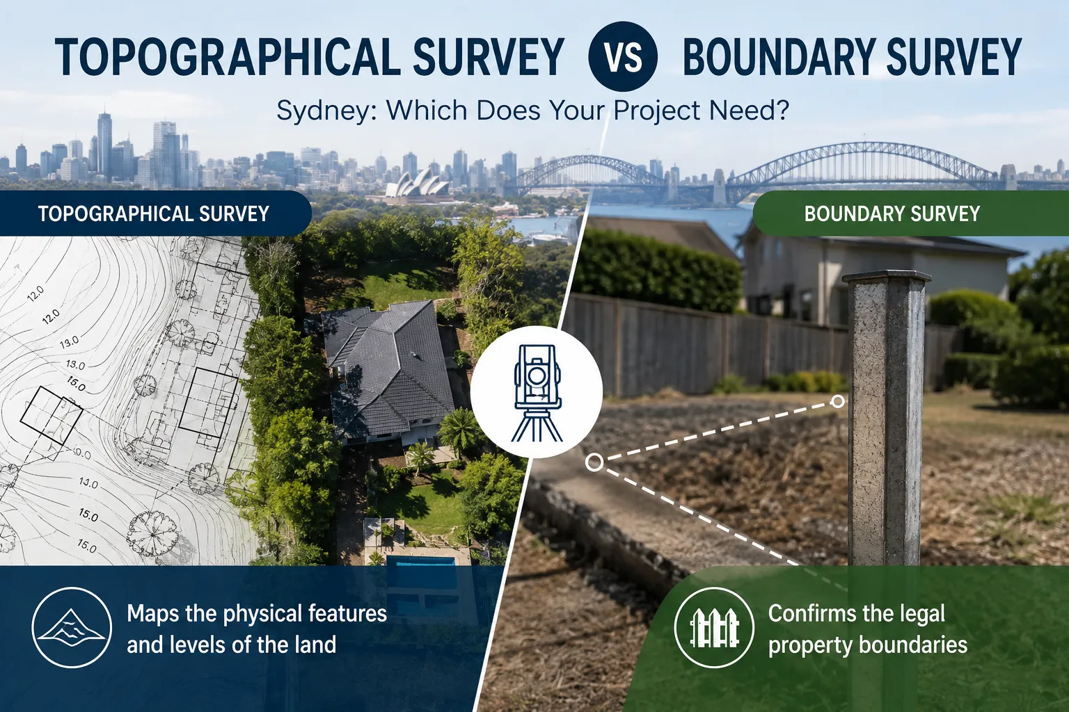
A contour survey plan turns field measurements into a clear drawing of the property.
Contour lines connect points that share the same height. Close lines usually indicate steeper terrain, while wider gaps show gentler slopes.
Depending on the agreed scope, a feature and land contour survey may also record:
- Existing buildings and structures
- Fences and retaining walls
- Driveways, paths and kerbs
- Trees and other major site features
- Visible drainage pits and grates
- Visible service markers
- Changes in the ground surface
- Features on nearby land that may affect the design
This creates a measured picture of the site. It helps the design team see where water is likely to travel before deciding how it should be managed.
How a Land Contour Survey Supports Drainage Design
A land contour survey does not design the stormwater system. Instead, it provides measured site information that an engineer or other qualified professional can use when preparing the design.
| Survey information | How it supports drainage planning |
|---|---|
| High and low areas | Accurate levels help identify low points where surface water may collect. |
| Direction of the slope | Shows whether the property falls towards the street, rear boundary or one side, helping the designer consider suitable drainage routes. |
| Finished floor levels | Helps designers consider how the proposed building level will relate to the surrounding ground and surface-water movement. |
| Driveway gradients | Shows the change in height across the driveway area and whether water may move towards or away from the garage. |
| Retaining walls and earthworks | Provides existing ground levels for planning excavation, filling, retaining walls and future drainage paths. |
When Should You Arrange a Contour Survey?
The best time is usually before detailed architectural and engineering plans are prepared.
A contour survey Sydney service may be needed when you are planning:
- A new home
- A knockdown rebuild
- A duplex or townhouse development
- A major extension
- A pool
- A new driveway
- Work on a sloping property
- A development application
- A complying development project
Getting the survey early allows the design to respond to the real land from the beginning. It’s much easier to adjust a drawing than to discover a level problem after work has started.
What a Standard Survey May Not Include
A standard survey generally records visible features within the agreed scope. It does not automatically locate every underground pipe or service.
If buried utilities must be found, specialist service locating may also be required. The exact drainage and council requirements will depend on the property, project and local approval pathway.
Discuss the intended use of the survey before fieldwork begins. This helps ensure the final plan contains the details your architect or engineer needs.
Start Your Drainage Planning with Reliable Site Information
Stormwater drainage design should begin with measurements, not guesses.
East West Surveyors provides detail and contour survey services in Sydney for homeowners, architects, builders and developers. Our team records the levels and visible features needed to support informed planning and design.
Contact East West Surveyors today to request a quote and arrange a contour survey for your Sydney property.
Frequently Asked Questions
Does a contour survey include stormwater drainage?
It may show visible drainage features such as pits, grates and surface channels, depending on the agreed scope.
Can a contour survey show where water flows?
The recorded levels and contours show how the land slopes. An engineer or designer can use this information to assess likely surface-water movement and prepare the drainage design.
Is a contour survey needed for a sloping block?
A contour survey is especially useful on sloping land because changes in height can affect drainage, excavation, retaining walls, access and building levels.