- What Does a Topographic Map Show?
- How Can a Topographic Map Help During Early Planning?
- Why Is a Topographic Map Not Enough for Building Design?
- Topographic Map vs Detail and Contour Survey
- Why Current Site Levels Matter
- When Should You Arrange a Topographical Survey in Sydney?
- Begin with the Map, Then Measure the Site
- Frequently Asked Questions
You find the property online, open a topographic map and begin studying the lines that cross the land.
The block slopes towards the street. A waterway sits nearby. The shape of the site starts to make sense.
So, can you use that map to plan a home, extension or development?
Yes, but only as an early reference. A topographic map can help you understand the wider landscape. It cannot replace current measurements taken on the property.
That difference matters once your ideas begin turning into building plans.
What Does a Topographic Map Show?
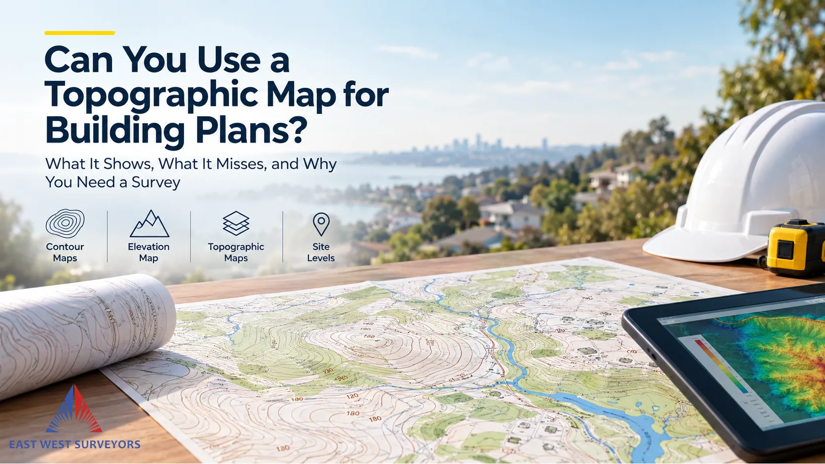
A topographic map is a broad picture of the land and its visible features. Depending on its scale and source, it may show:
- Contour lines and elevation
- Hills, valleys and waterways
- Roads and tracks
- Buildings or developed areas
- Vegetation and other landscape features
- Place names and property areas
Contour lines connect points of equal elevation. Lines close together usually indicate steeper ground and wider spaces often suggest a gentler slope.
This makes topographic maps useful for understanding how an area rises, falls and connects to the surrounding landscape.
How Can a Topographic Map Help During Early Planning?
Before paying for detailed design work, a topographic map can help you ask better questions.
For example:
- Does the wider area appear steep?
- Is the property close to a creek or low-lying land?
- Could access be affected by the terrain?
- Does the surrounding landscape suggest drainage challenges?
- Will the site need closer investigation before design begins?
An online elevation map or contour map may also help when comparing potential properties. It can reveal broad differences between a level suburban block and land on a hillside.
That makes it a useful research tool. But research is where its job should end.
Why Is a Topographic Map Not Enough for Building Design?
Public topographic maps cover large areas. Their scale, contour interval, source data and publication date can vary.
As a result, they may not show the fine detail needed to position a building or design drainage, driveways and retaining walls.
A general topographic map may not accurately record:
- Current ground levels across the property
- Recent buildings, fences or earthworks
- Small changes in slope
- Trees and retaining walls
- Visible pits and service markers
- Driveway levels and kerb details
- Features on nearby land that affect the design
- Legal property boundaries
Some government map series were also created from older source information. The map’s date and reliability notes should always be checked before using it for general research.
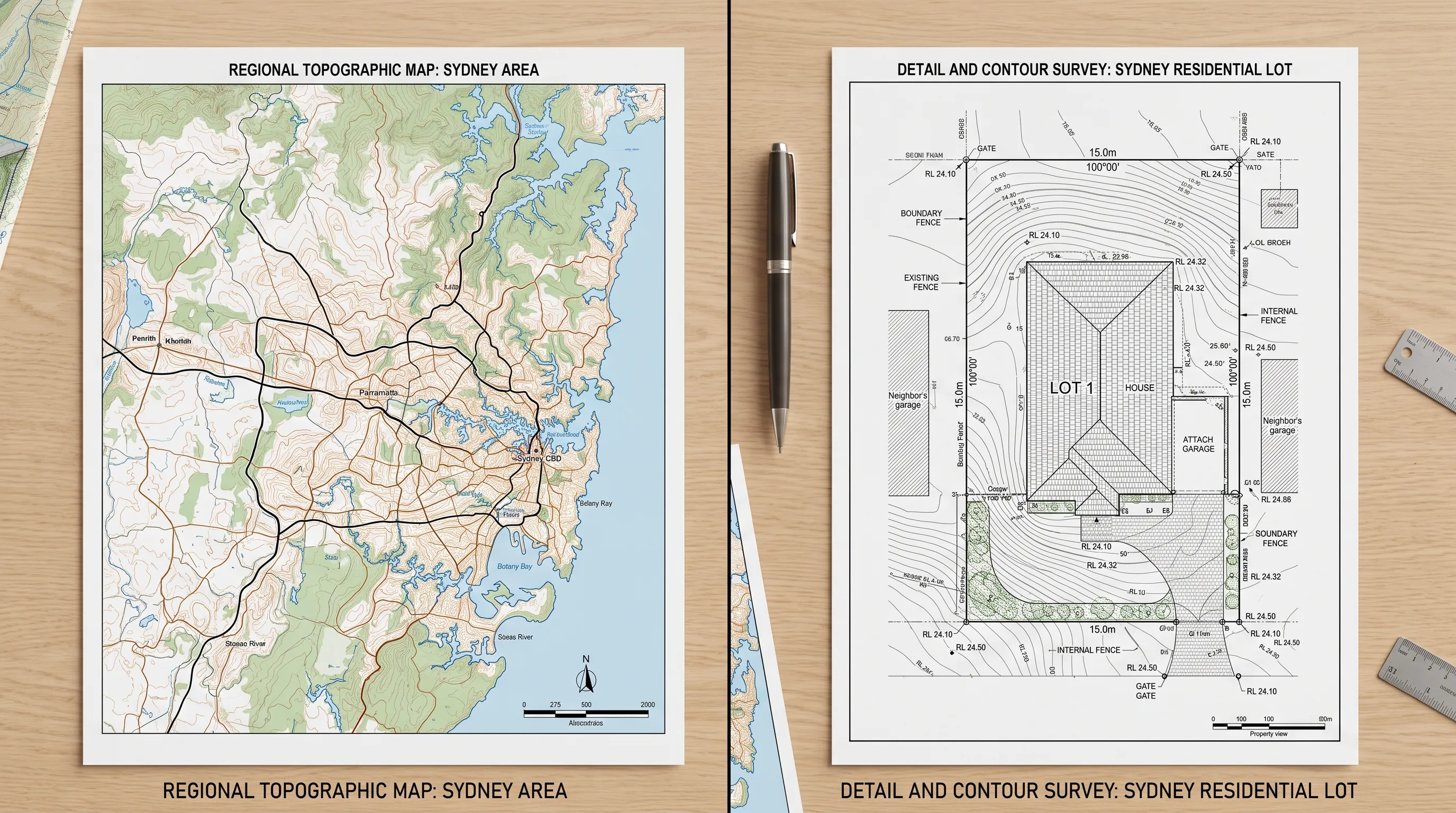
Topographic Map vs Detail and Contour Survey
| Information source | Best used for | Main limitation |
|---|---|---|
| Topographic map | Understanding the wider terrain, waterways, roads and general elevation | Not measured specifically for your current building project |
| Detail and contour survey | Recording current site levels and visible physical features for design | Covers the agreed survey area and scope |
| Boundary survey | Identifying legal property boundaries | Does not replace detailed site information needed for design |
A map gives you the broad view. A survey gives your project team measured information about the actual site.
Why Current Site Levels Matter
A building design must respond to the land beneath it.
Small differences in site levels can influence:
- Finished floor heights
- Excavation and filling
- Driveway gradients
- Surface-water movement
- Retaining walls
- Building access
- Connections between the property and the street
Architects and engineers need reliable measurements when working through these details. Guessing from a broad contour map can lead to a design that does not match the real ground.
When Should You Arrange a Topographical Survey in Sydney?
A topographical survey in Sydney is commonly arranged before detailed architectural or engineering design begins.
You may need one when planning:
- A new home or knockdown rebuild
- An extension or secondary dwelling
- A duplex or townhouse project
- A pool or new driveway
- Work on sloping land
- A Development Application
- A Complying Development Certificate project
The required information will depend on the property, proposed work and approval pathway. Your architect, engineer, certifier or council may also request particular features or levels.
Begin with the Map, Then Measure the Site
A topographic map is a useful place to start. It helps you see the bigger landscape and arrive with better questions.
When accurate design work begins, however, your project needs current measurements.
East West Surveyors provides detail and contour surveys across Sydney for homeowners, architects, builders and developers. Contact our team today to discuss your plans, confirm the survey scope and request a quote.
Frequently Asked Questions
Is a topographic map the same as a topographical survey?
No. A topographic map usually represents a wider area at a set scale. A topographical or detail and contour survey records current measurements for a particular site and agreed purpose.
Can I use Google Maps instead of a site survey?
Google Maps and aerial images can help you view the property and surrounding area. They do not provide the project-specific site levels and measured details required for building design.
Does a detail and contour survey confirm legal boundaries?
Not automatically. Legal boundary identification involves separate cadastral investigation. Ask the surveyor whether boundary work should be included in the scope.