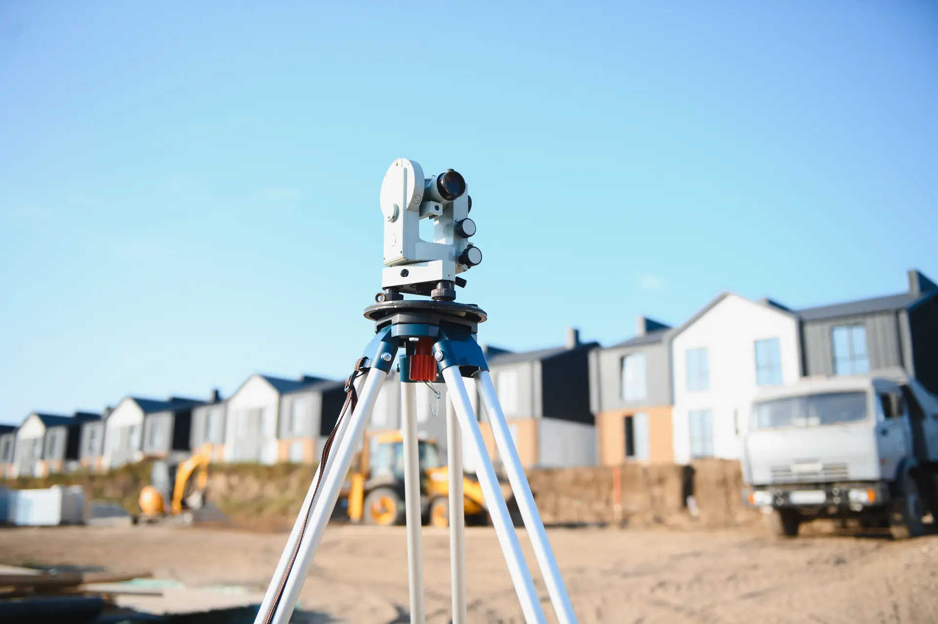
Redefinition Survey
Correct outdated land records cleanly. Our specialized redefinition survey tracking mathematically resolves old compiled plan errors, permanently securing your boundaries with the state registry.
What is a Redefinition Survey?
A redefinition survey-officially known as a Plan of Redefinition-is a highly specialized boundary survey used to mathematically correct and legally lock in the borders of a block of land. In New South Wales, a huge number of older property titles are based on 'compiled' plans drawn up before 1936. Because these historic maps were sketched using old manual tools without modern reference marks, the recorded property lines can wander, overlap, or completely disagree with physical fences over time. A redefinition survey mathematically solves these historical errors, bringing your land data fully into the modern, secure Torrens title system. Our registered land surveyors do the deep background work. We search public databases for your original deeds, look at surrounding maps, measure your physical fences, and calculate the exact legal boundaries. We then place certified markers at your property corners and manage the official submission to register your updated plan directly with NSW Land Registry Services (LRS).
Explore other Land Services
Specialized Boundary Rectification Services
We provide definitive cadastral solutions to clear up historical mapping gaps across Greater Sydney:
Strata Base Plan Redefinitions
The NSW LRS often requires a registered Plan of Redefinition before they will accept a brand-new strata plan for townhouses or apartments. If the underlying parent block is based on an old compiled map, we redefine the outer borders first. This gives your development a clean mathematical foundation so your individual unit titles can be approved without delay.
Delimitation Surveys for Limited Titles
If your Certificate of Title has a 'Limited Title' notation on it, it means the government has never officially verified your property boundaries. We conduct a formal delimitation survey to calculate the absolute lines of your land, lodging a fresh plan to strip away the limited warning and grant you a fully state-guaranteed title.
Fence Line and Title Discrepancy Fixes
Built for properties where a major difference exists between your physical fence line positions and the measurements written in your historic deed papers. We find the true mathematical lines, calculate if you have a surplus or shortage of ground, and update the public records to protect your property value.
When is a Plan of Redefinition Required in NSW?
Conducting a boundary redefinition nsw wide is essential whenever old property descriptions fail to match real-world structures or modern council guidelines. You will generally need a registered redefinition surveyor sydney expert in the following scenarios:
- Preparing for a Major Development: If you are building right up to the bare minimum setback limits on an older piece of land, you cannot rely on old sketches. We redefine the parcel to ensure your engineering designs are built on absolute mathematical facts, protecting you from building over a line.
- Satisfying Council Planning Rules: Local municipal councils regularly drop a condition into development applications demanding a certified boundary redefinition if the local survey marks in the street have shifted over the decades.
- Selling or Renovating Old Estates: If your land hasn't been officially surveyed or sold in the last 80 to 100 years, running a redefinition survey before launching renovations or property sales updates the registry and eliminates legal surprises for buyers.
Sydney's Experts for Complex Cadastral Redefinitions
- NSW Registered Land Surveyor Authority: In New South Wales, only a Licensed or Registered Land Surveyor holds the legal authority to define property boundaries and certify an official Plan of Redefinition. Our qualified specialists ensure your documentation complies fully with the Surveying and Spatial Information Act 2002.
- Exhaustive Historical Deed Tracking: We don't guess or rely on quick field checks. Our team invests the required hours into digging up public archives, historic survey marks, and original crown records to build an absolute mathematical model of your land that stands up to strict legal scrutiny.
- Reliable Fixed Pricing: All quotes feature absolute clarity. Backed by intensive pre-survey structural research, we ensure your proposals are fully comprehensive with no hidden administrative add-ons or surprising post-survey variations.
Redefinition Survey FAQs

Redefine Your Property Lines and
Protect Your Land Equity
Don't risk your construction design, multi-unit subdivision, or title security on old, unreliable property records or assumed fence positions. Partner with East West Surveyors to lock in your true land dimensions legally. Fill out the form below, and our Epping-based team will prepare a competitive, fixed-price quote within 1 business day.