Land Area Confirmation
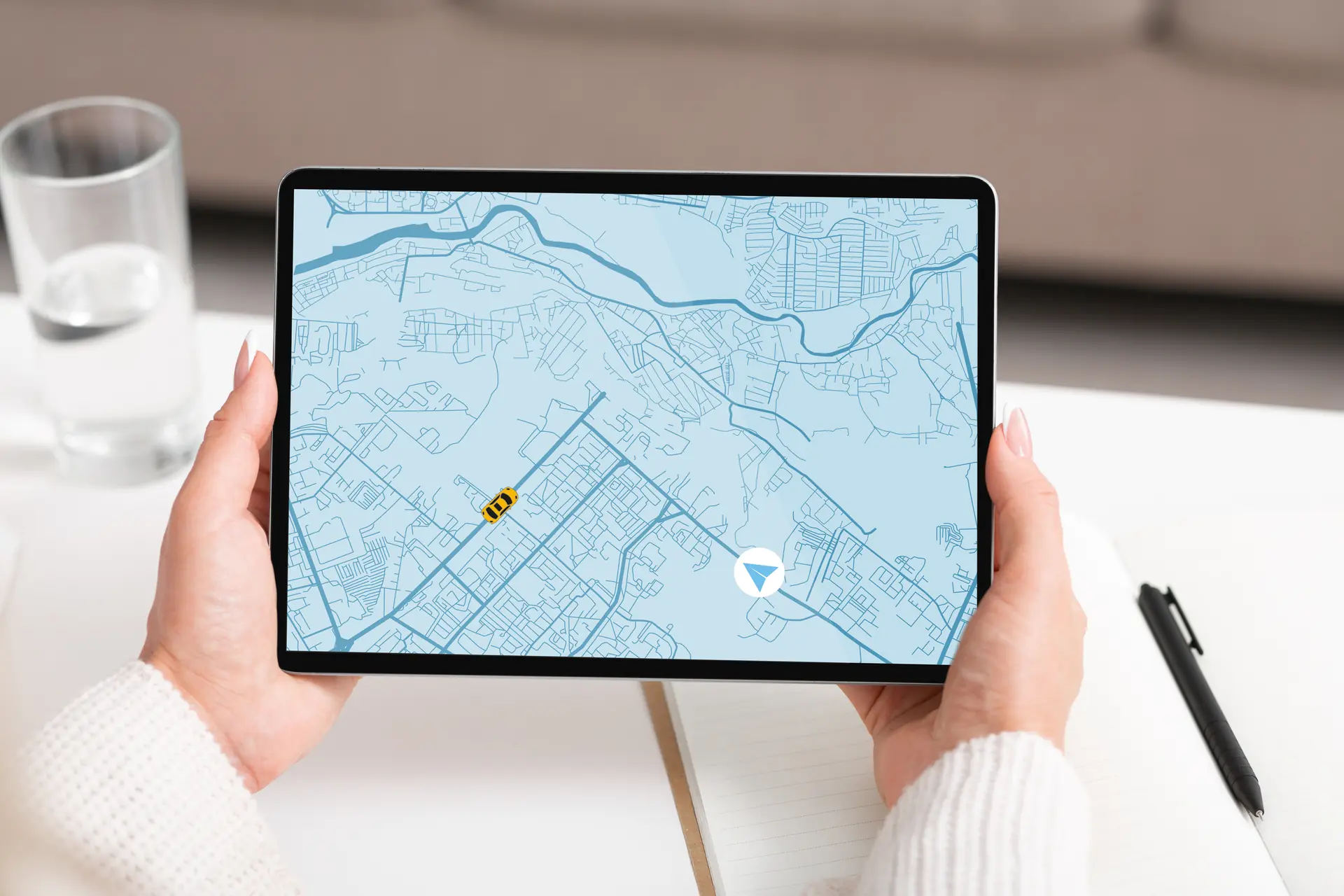
Verify your absolute square meterage with a certified cadastral survey Sydney check. We confirm true lot sizing eligibility for dual occupancies and secondary dwellings safely.
What is a Cadastral Survey and Land Area Confirmation?
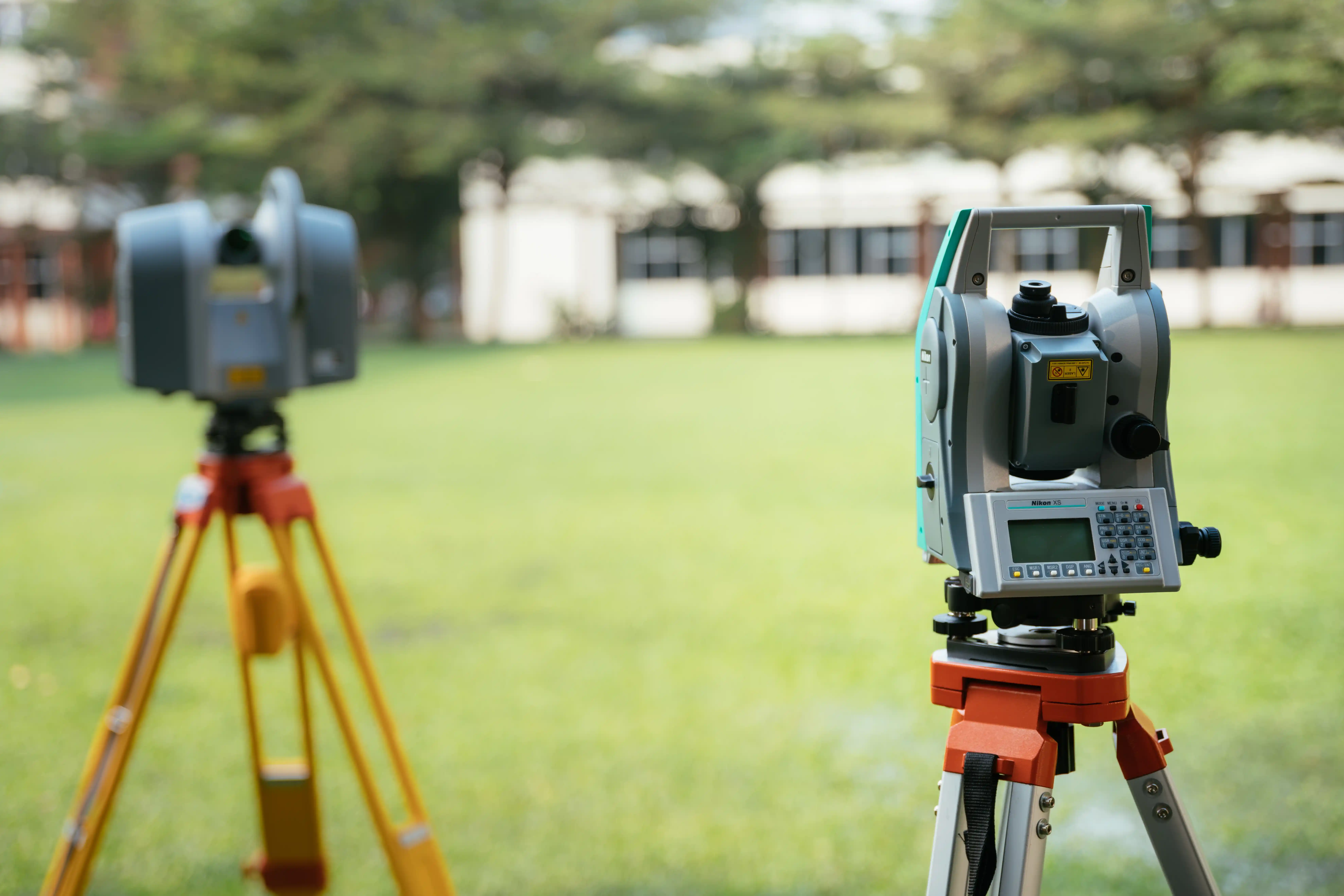
A cadastral survey is a highly specialized, legal survey used to define, map, and officially record the legal boundaries and physical dimensions of a piece of land. In New South Wales, a land area confirmation is the specific technical process of calculating exactly how many square metres of real space exist within those official boundary lines. Many older property titles across Sydney rely on historical, calculated estimates that can be mathematically flawed or throw off modern designs. Our field crews use advanced digital measuring stations to double-check every angle and distance of your site borders. Once our field work is complete, we run highly precise software checks to verify the true land area, providing an ironclad, certified baseline for buyers, builders, and developers before any contracts are finalised.
Explore other Land Services
Specialized Site Sizing Certifications
We deliver absolute mathematical and legal certainty to protect your property equity:
Floor Space Ratio (FSR) Check
Certifying the exact land area to maximize the allowable floor space ratio for a new development.
Valuation Survey
Providing an exact area figure to a property valuer for commercial acquisitions.
Easement Area Calculation
Calculating the exact square meterage of an easement for compensation negotiations.
When is a Certified Sizing Review Required?
Securing a professional cadastral survey nsw review is essential whenever the raw size or physical boundaries of your property impact your transaction or your building rights. You will generally need a certified land size check in the following scenarios:
- Buying High-Value Property: Property prices in Sydney are heavily tied to land size. Verifying the exact square meterage before settlement protects your financial investment and keeps contract descriptions 100% honest.
- Building Secondary Dwellings: Local municipal councils enforce strict minimum block size laws before allowing granny flats, townhouses, or dual occupancies. We verify your block checks these boxes before you invest in expensive architectural drafting.
- Fixing Discrepancies with Fences: If your physical backyard fence line sits noticeably off-line compared to your old deed descriptions, we run an exact area audit to show you where the legal limits truly lie.
Sydney's Experts for Clear Sizing Verifications
- BOSSI Licensed Authority: In New South Wales, only a Licensed or Registered Land Surveyor holds the legal right to calculate property borders and formally certify land areas. Our qualified specialists ensure your documentation complies fully with the Surveying and Spatial Information Act 2002.
- Millimetre-Accurate Calculations: We blend deep historical deed research with up-to-date robotic field equipment. This approach allows us to find your true boundary lines with absolute precision, removing mathematical errors and securing your building plans.
- Transparent Project Costing: All pricing is built upon precise pre-survey document audits. We ensure complete project rate transparency with absolutely zero surprise administration fees or unverified operational additions.
Land Area Confirmation FAQs
Confirm Your Land Size and
Protect Your Real Estate Value
Don't risk your property purchase, multi-unit building design, or financial equity on old, estimated title sketches or unverified fence positions. Partner with East West Surveyors to get the absolute mathematical facts for your land. Fill out the form below, and our Epping-based team will respond with a transparent quote within 1 business day.