
Detail Contour Survey in Ermington
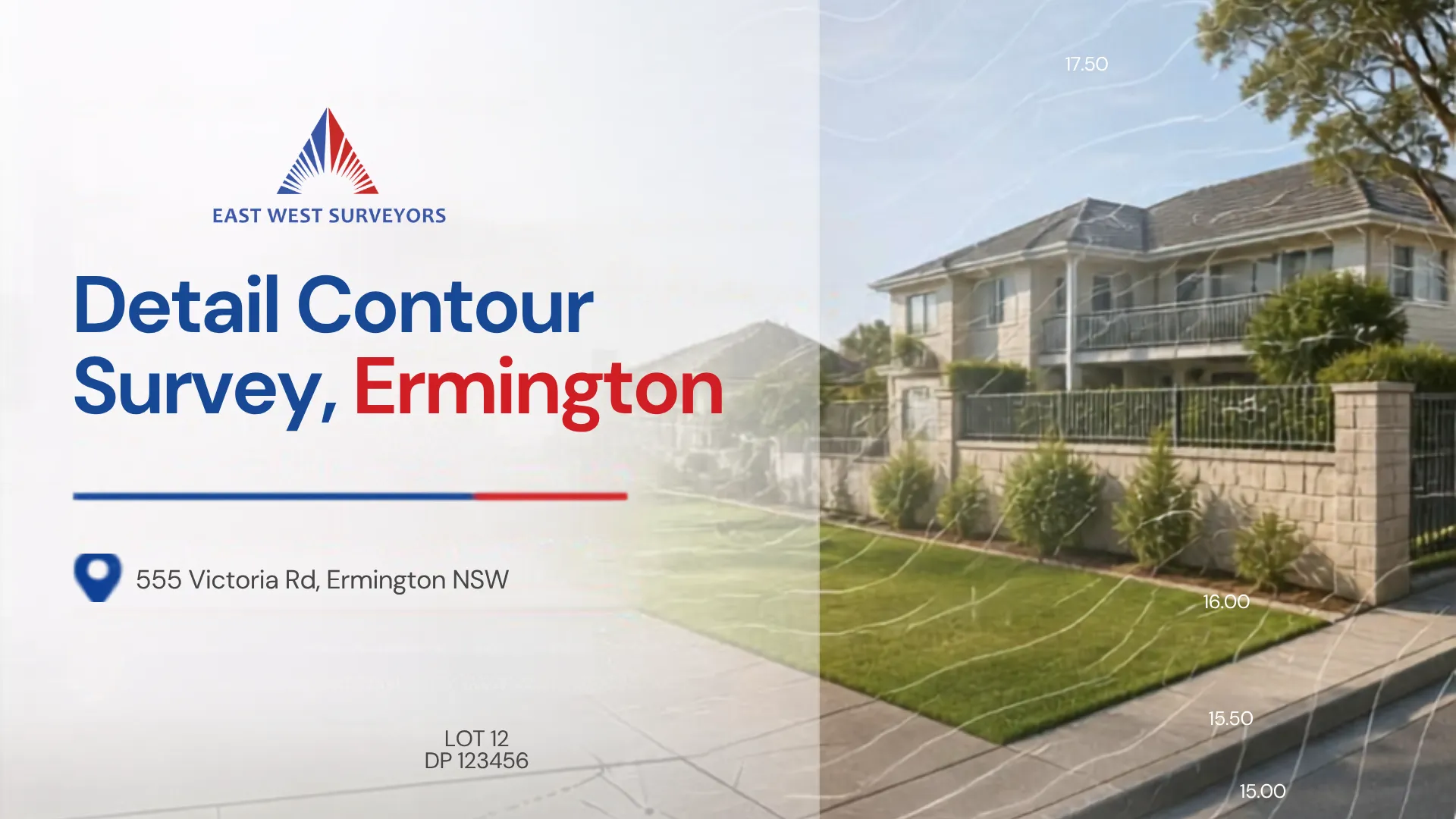
East West Surveyors completed a detail contour survey for a residential property at 555 Victoria Road, Ermington.
The survey was completed for Lot 6 in DP 128421 and focused on recording important existing site information.
The survey provided information about site levels and visible features to help establish a reliable base for the property's next stage of planning or design.
Location
555 Victoria Rd, Ermington NSW 2115
Project Type
Detail Contour Survey
Category
Residential
Client
Anjani Ranjit
Property
Lot 6, DP 128421
Surveyor
Luke Skelton, Surveyor ID 8177
Job Number
246657
Detail Contour Survey for a Residential Property in Ermington
Before planning or design work begins, a project team needs a clear understanding of the existing site.
A detail contour survey records important site information such as ground levels, visible features and other relevant conditions. This helps provide a reliable reference for architects, engineers and other consultants.
For this residential property at 555 Victoria Road, Ermington, East West Surveyors completed a detail contour survey for Lot 6 in DP 128421.
The survey focused on capturing the existing site accurately so the available information could be used during the next stage of planning and design.
Good survey information can help the project team understand changes in ground level, existing structures and other site conditions before making design decisions.
The exact information required can vary between properties. A surveyor can confirm the appropriate scope based on the proposed project and site.
Request a Quote
Detail Contour Survey
East West Surveyors completed a detail contour survey for this residential property in Ermington.
The survey recorded relevant existing site information, including ground levels and visible features that may be important during planning and design.
A clear survey plan gives the wider project team a common reference when considering the site.
- Existing site features
- Ground levels
- Site contours
- Existing structures
- Relevant site details
- Survey reference information
The final scope of a detail contour survey depends on the property and the requirements of the proposed project.

Why Multi-Dwelling Projects Need Ongoing Surveying Support
A multi-dwelling development can involve several stages, with each stage requiring accurate information.
Understanding the Existing Site
A detail contour survey records important information about the existing property, including visible features and site levels. This gives the design team a clearer picture of the land before planning or design work begins.
Recording Site Levels
Changes in ground level can affect building design, drainage and how a property is developed. Accurate level information helps the project team understand the slope and shape of the site.
Capturing Existing Features
The survey records relevant visible features on and around the property. This information can help architects, engineers and other consultants work from a consistent site reference.
Providing a Reliable Base for Design
Starting with current survey information helps reduce uncertainty during the early stages of a project. The survey plan can provide useful information for the next steps in design and planning.
Building a Clear Picture of the Existing Site
A detail contour survey can provide useful site information before design and planning decisions are made.
01 | Site Information
Recording Existing Conditions
The survey records relevant visible features and ground information across the property. This helps establish a clear picture of the existing site.
02 | Levels and Contours
Understanding the Shape of the Land
Ground levels and contours help show changes in elevation across the site. This information can be useful when considering building design, drainage and site planning.
03 | Design Reference
Supporting the Next Stage
Architects, engineers and other consultants can use the survey information as a reference when developing plans and assessing the site.
04 | Project Planning
Using Current Site Information
Starting with current survey information gives the project team a stronger base for the next planning or design stage. The surveyor can also advise if further surveying is required as the project develops.
Good Site Planning Starts With Reliable Survey Information
A residential project can involve many decisions before construction begins.
Architects, engineers, builders and other consultants may need accurate information about the property.
Starting with reliable survey information can help the project team understand the site before important design decisions are made.
If the project moves into later stages, further surveying may be required to support construction or other project needs.
For a residential property, the first step may be a detail contour survey that records the existing site.
Having the right survey information at the right stage helps the project team make decisions with a clearer understanding of the property.
Project Outcome
Reliable Site Information for the Next Stage
East West Surveyors completed a detail contour survey for the residential property at 555 Victoria Road, Ermington.
The survey captured relevant existing site information, including levels and visible features.
This provided a clear survey reference for the project team as the property moved into its next stage of planning or design.
Every property is different, so the required survey information should be confirmed based on the site and proposed work.
Detail Contour Surveys
What is a detail contour survey?
A detail contour survey records relevant information about an existing property. This can include ground levels, contours, visible structures and other site features.
Why is a contour survey useful before design?
It gives the project team a clearer picture of the existing site. Architects and engineers can use the survey information when developing plans and considering site conditions.
What does a detail contour survey show?
The information recorded depends on the property and survey scope. It may include site levels, contours, visible structures, access areas and other relevant features.
Do all residential properties need the same survey?
No. Survey requirements depend on the property and the proposed work. A surveyor can confirm what information is needed for a particular project.
Can a contour survey help with drainage planning?
Site levels and contours can provide useful information for drainage planning. The survey information can help the relevant design team understand how the land changes across the property.
Where did East West Surveyors complete this survey?
The project was completed at 555 Victoria Road, Ermington NSW 2115, for Lot 6 in DP 128421.
Detail Contour Surveys in Ermington and Sydney
East West Surveyors works with homeowners, builders, architects and developers across Ermington and wider Sydney. Our team provides surveying services for residential and development projects, including:

Need a Detail Contour Survey
in Sydney?
Whether you are planning a new home, renovation, subdivision or other residential project, accurate site information can provide a useful base for the next stage. Our team can review your project requirements and help you understand which surveying services may be needed.