
Residential Redevelopment on George Street, Parramatta
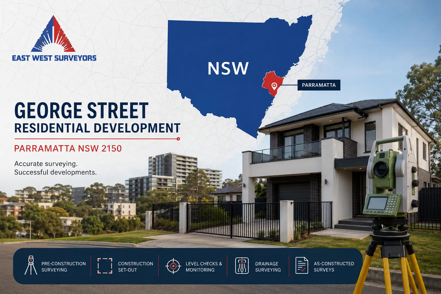
An existing mid-century house on a dual-frontage block was demolished to make way for a new two-storey home and a separate granny flat. With mature trees and a boundary directly alongside the Parramatta Light Rail corridor, the site required careful surveying from pre-purchase through to completion.
Location
George Street, Parramatta
Project Type
Residential Redevelopment
Development
New Home and Granny Flat
Survey Involvement
Pre-Purchase to Completion
A Complex Residential Knockdown-Rebuild
The George Street site was home to an established mid-century residential property before redevelopment began. The client purchased the block intending to clear the site and build a new two-storey home, along with a separate detached granny flat.
The site had several features that made planning and construction more complex than a standard suburban rebuild. It featured two separate main road frontages, each with its own driveway access. The property also contained multiple mature trees, and one boundary sat directly adjacent to the new Parramatta Light Rail corridor.
Adding two separate structures to a single block meant both dwellings needed careful positioning. Understanding the boundaries, existing levels and site constraints from the beginning was essential for the project to succeed.
Not a Standard Residential Survey
Complex Site Boundaries
With old fences often sitting off the legal boundary, the true property lines had to be re-established accurately before any demolition or design work could begin.
Two Street Frontages
The property had vehicle access from two separate roads. This meant kerb levels, driveway grades and sight distances had to be assessed and managed for both frontages.
Existing Trees and Infrastructure
Mature trees on site and the nearby Parramatta Light Rail corridor meant strict tree protection zones and structural monitoring were required throughout the build.
Two New Dwellings
Building a main house and a granny flat on the same block required highly accurate set-out work to ensure both structures met their approved setbacks and floor levels.
Survey Support at Every Stage
Before Construction
Getting the groundwork right. Confirming boundaries and existing site conditions early gave the architect and design team reliable information to plan around.
- Identified existing boundaries to provide certainty before the property purchase.
- Recorded existing site levels, mature trees and visible service infrastructure.
- Documented the condition of adjoining properties and the light rail interface before demolition began.
- Established reliable survey reference points so the construction team could work from consistent positions.
During Construction
Keeping the build on track. Accurate set-out helped the construction team position the new buildings in line with the approved plans and avoid costly mistakes.
- Set out the new house, granny flat and driveway crossings on site.
- Checked building floor levels and heights at slab, frame and roof stages.
- Surveyed the stormwater and drainage systems before they were covered.
- Monitored the site to detect any movement near the light rail corridor.
Project Completion
Closing out with confidence. The final surveys gave the client and certifier verified records, ensuring the completed development matched what was approved.
- Carried out final surface level and constructed position checks.
- Prepared final work-as-executed plans for the council.
- Provided final survey documentation for drainage easements.
Steady Support From Start to Finish
East West Surveyors supported the George Street residential project from the earliest pre-purchase checks right through to final certification. By providing reliable spatial information at every stage, we helped the client navigate the complexities of a dual-frontage block located next to major transport infrastructure.
Our ongoing survey support ensured that the demolition, earthworks and construction of both dwellings stayed on track. Providing accurate data and set-out work gave the builder confidence, eliminated boundary doubts, and ensured the final project achieved its necessary council approvals without delays.
Explore Our Services
Discover the surveying solutions that make complex residential projects like this one possible.
Boundary Surveys
Find the exact legal lines of your property to protect your land and stop arguments with neighbours.
Detail & Contour Survey
The starting point for any design. We map out the exact terrain, trees, and buildings for your architect.
Set-Out Surveys
We mark out the exact building walls, height levels, and corners on your site so builders build perfectly to plan.

Planning a residential project
in Parramatta?
Talk to East West Surveyors about the surveying support your project may need.