Licensed Land Surveyors Parramatta
Fast-track design approvals. As the licensed land surveyors Parramatta developers trust, we handle tight zero-lot boundaries, complex slopes, and strict local council guidelines.
Need a specific solution for your Parramatta project?
Overcoming Parramatta’s Unique Terrain & Development Challenges
Developing or building in the Parramatta region requires deep familiarity with an incredibly diverse urban landscape. Unlike newer greenfield land estates, Parramatta features a complex mix of historic commercial zones, tightly packed residential blocks, and active river corridors. These environments present distinct spatial challenges that demand advanced surveying infrastructure:
Zero-Lot-Line and Boundary Constraints
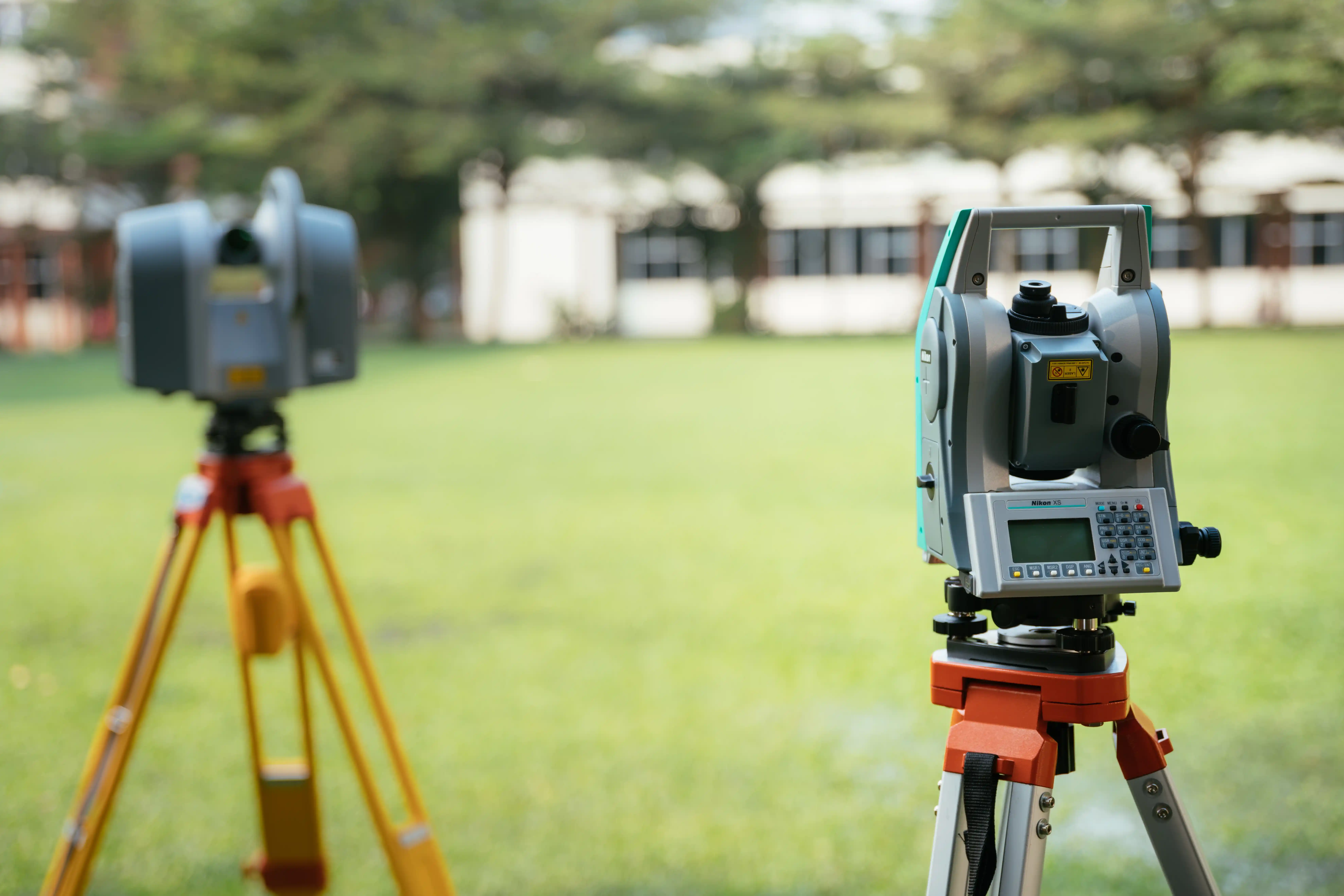
Modern townhouses, duplexes, and multi-storey builds across central Parramatta frequently push structures right to the absolute physical edge of the allotment boundary. An error of just a few millimetres can lead to catastrophic legal disputes or forced structural changes. We deploy high-grade robotic total stations to project architectural lines onto your site with absolute precision.
Complex Slopes and High-Density Infill
Many established pockets across North Parramatta and the Inner West feature substantial natural slopes winding down toward local creek networks. Our detail and contour surveys capture these changing elevation profiles, visible utility corridors, and adjacent structural footprints, providing your architect with a flawless digital base model.
Historical Title Variations
Because Parramatta is one of Australia's oldest established settlements, a high percentage of local properties rely on "compiled" title maps drawn up before 1936. Our team specializes in executing deep background archival research to trace original boundary markers, ensuring your property equity and dividing fences are legally secure.
Navigating City of Parramatta Council Infrastructure Mandates
Every building project submitted within the City of Parramatta boundary must strictly align with the Parramatta Local Environmental Plan (LEP) and Development Control Plan (DCP). Parramatta’s engineering asset inspection teams enforce highly meticulous compliance conditions, particularly surrounding stormwater infrastructure and public road reserve access:
Strict On-Site Detention (OSD) Standards
To manage urban runoff and protect the Parramatta River catchment, the council demands highly robust on-site stormwater detention systems for almost all new multi-dwelling and duplex developments. Our stormwater work as executed sydney teams are deeply familiar with local volume thresholds and orifice plate levels, delivering the certified redline WAE drawings your private certifier requires to clear your final Occupation Certificate.
Section 138 Vehicular Crossover Regulations
Constructing a new concrete driveway layback or crossover requires formal alignment levels that must match the council’s existing public road reserve parameters perfectly. We conduct comprehensive driveway WAE checking to verify finished gradients and crossfall percentages, ensuring your crossover passes asset handover inspections without cracking or water pooling issues.
Heritage Conservation Spatial Controls
Large sectors of Parramatta are locked inside strict Heritage Conservation zones. When planning structural upgrades or extensions, the council requires authoritative building height and roof ridge level mapping tied explicitly to the Australian Height Datum (AHD) to preserve historic site visual corridors.
Hyper-Relevant Surveying Assets for Your Build
We provide a complete suite of legally binding, certified surveying frameworks engineered specifically to clear your local development hurdles:
Detail and Contour Surveys (Topographic Design Foundations)
The mandatory initial step for any successful Parramatta DA or CDC application. We map your block's exact boundaries, natural ground elevations, notable tree trunks, and underground service pits, transferring the data into layered digital AutoCAD files that your architect can import with zero compatibility issues.
Construction Set-Out Surveys (Precision Peg-Outs)
We move your approved architectural layouts from the screen directly onto your physical soil. Our field crews drive high-visibility wooden stakes, place reference nails on profile boards, and mark out core structural gridlines, ensuring your excavation operators and concrete contractors build flawlessly to plan.
Final Identification Surveys (Compliance Certificates)
Essential for property handovers, bank refinancing, and final certifier approvals. Once your structural work wraps up, we measure the completed building offsets, eaves, and floor levels relative to your legal borders to prove absolute design compliance and eliminate downstream neighbour boundary disputes.
Complete Coverage Across the Parramatta & Inner West Network
Our mobile surveying field crews deploy daily straight to construction zones, commercial developments, and family properties across the entire City of Parramatta LGA and surrounding local government sectors:
Core Parramatta Sector
Northern & Western Hubs
Southern & Inner West Interfaces
Parramatta Property Surveying FAQs
Answers to common questions about surveying in the Parramatta LGA.
Secure Your Fixed-Price Surveying Roadmap Today
Don't risk your construction budget, design timeline, or final Occupation Certificate on unverified layout marks or delayed survey data. Partner with East West Surveyors to get clear, undeniable mathematical certainty for your Parramatta project. Fill out the form below with your address and project parameters, and our technical drafting office will analyze your lot using state property registries to deliver a transparent, fixed-price quote within 1 business day.