Our Regional Coverage
& Service Hubs in Sydney
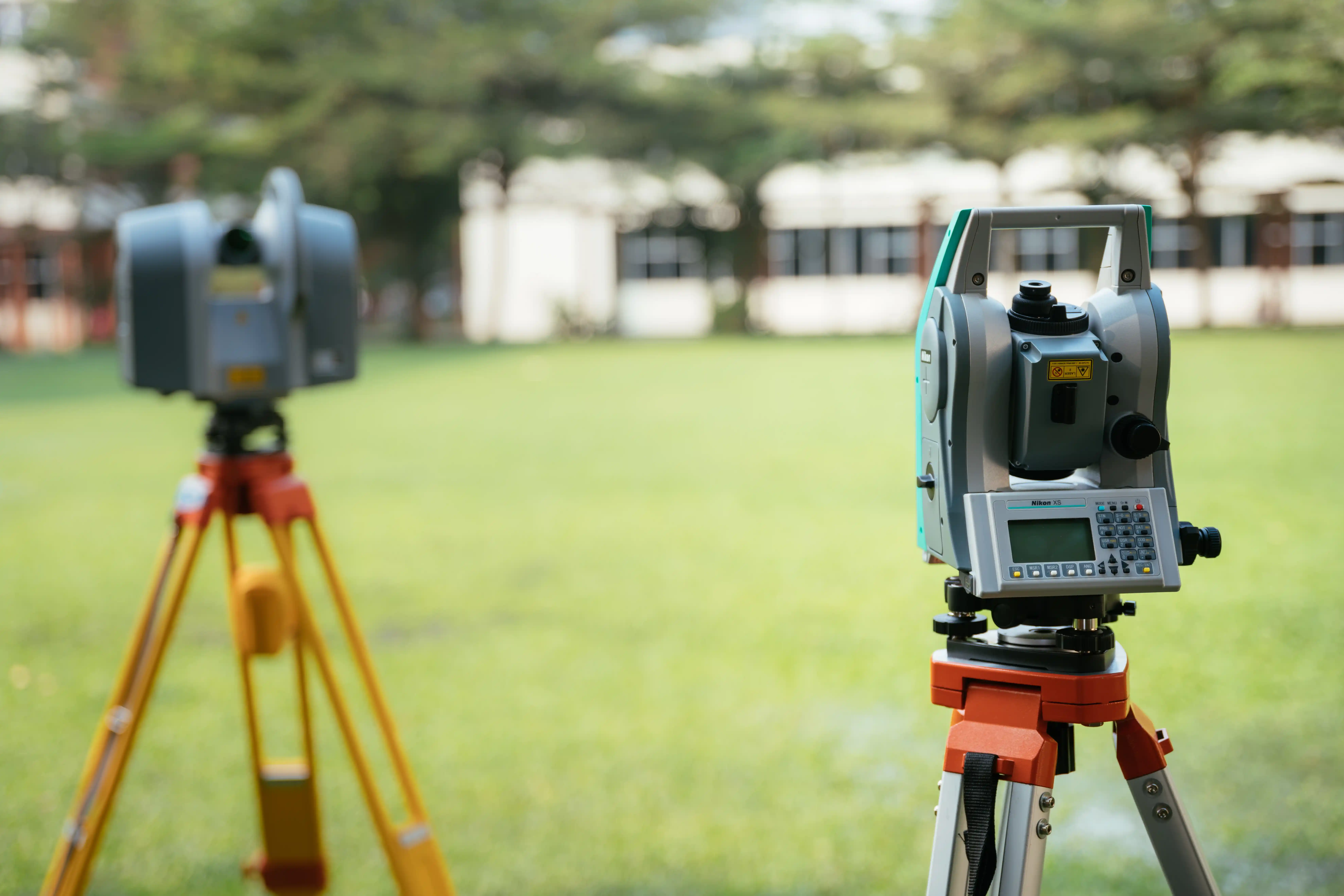
Our mobile land surveying field crews deploy daily across Greater Sydney. Select your closest regional hub below to explore localized municipal council infrastructure guidelines.
Parramatta Regional Hub
Key Focus Areas
City of Parramatta, Inner West, and Central Sydney.
Specialised Local Expertise
High-density commercial structural set-outs, complex zero-lot-line duplex constraints, and detail surveys for tight, heritage-grade allotments.
Blacktown City Regional Hub
Key Focus Areas
Blacktown City, North West Growth Corridor, and The Hills District.
Specialised Local Expertise
Multi-lot Torrens title land subdivisions, fast-turnaround new home building set-outs, and council-ready stormwater or driveway work-as-executed (WAE) plans.
South West Sydney Regional Hub
Key Focus Areas
Liverpool, Bankstown, Campbelltown, and Camden Municipalities.
Specialised Local Expertise
Large-scale commercial industrial warehouse gridline set-outs, boundary redefinitions for old pre-1936 compiled titles, and swimming pool setback audits.
Penrith & Outer West Regional Hub
Key Focus Areas
Penrith City, Blue Mountains Foot, Hawkesbury, and Central West Interfaces.
Specialised Local Expertise
Extensive rural property boundary mapping, large civil infrastructure level tracking, and land area confirmations for agricultural or acreage lots.
Suburbs We Regularly Service
Our surveying teams are deployed daily across the following local government areas (LGAs) and surrounding suburbs. If your specific location is not explicitly listed below, contact our Epping headquarters—our mobile crews operate comprehensively throughout the entire state network.
City of Parramatta & Inner West
Blacktown City & North West
South West Sydney & Macarthur
Penrith & Greater Western Hubs
Why Local Municipal Knowledge Matters
Every local government area in New South Wales operates under its own distinct Local Environmental Plan (LEP) and Development Control Plan (DCP). These documents outline highly strict local rules that can completely alter the success of your property build:
Varying Stormwater Controls
Parramatta and Bankstown councils enforce completely different baseline storage volumes and pipe velocity tolerances for On-Site Detention (OSD) structures. Our stormwater WAE tracking is customized to align with each specific council's asset inspection team.
Strict Boundary Setback Limits
In high-growth zones like Blacktown and Marsden Park, builders regularly push structures right to the bare minimum clearance thresholds. Our high-precision robotic set-out surveys ensure you don't build even a millimetre into your setback lines.
Outdated Title Records
Older settled areas across South West Sydney contain a high volume of pre-1936 "compiled" title maps. Our registered land surveyors carry out exhaustive historical registry deep-dives to protect your dividing fences and land equity from ancient mapping mistakes.
Confirm Your Site Schedule in Seconds
Don't risk your building timelines, architectural budget, or development approvals on delayed survey data or unverified coordinates. No matter where your lot sits across Greater Sydney, our office provides complete cost clarity, rapid booking dates, and certified expert tracking. Fill out the form below with your property details, and our technical drafting team will evaluate your block using state databases to provide a transparent, fixed-price quote within 1 business day.